July 2
Orkney Islands, Scotland
From where we left off in Part 1. If you don’t recall, revisit Part 1 . . .
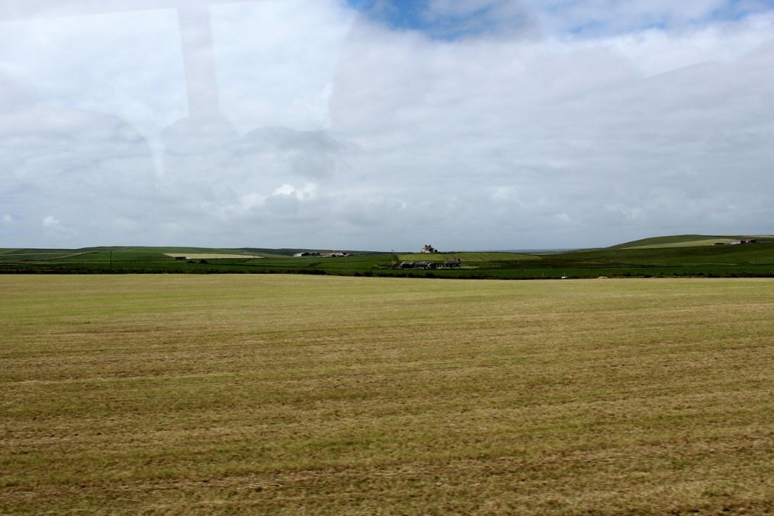
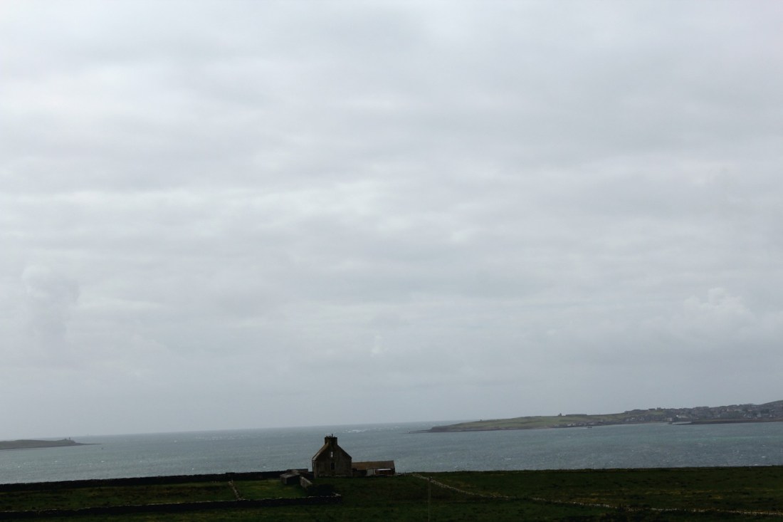
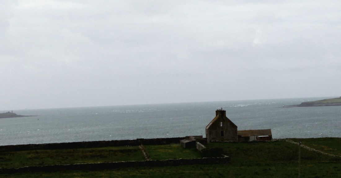
[Enroute to the highlight of the Orkneys . . . ]

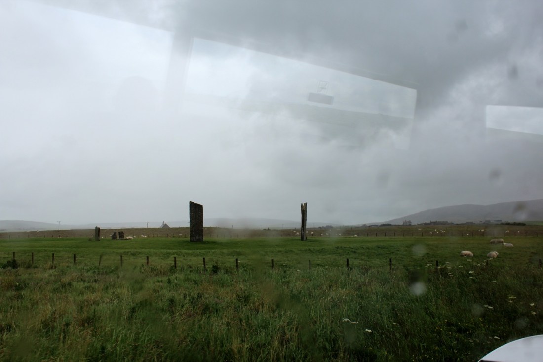
[First sighting through the bus window – the Ring of Brodgar . . . ]
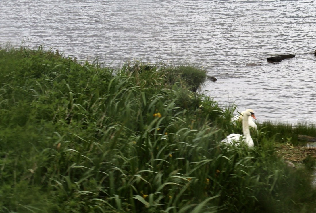
[The famous Orkney large white bird . . . ]
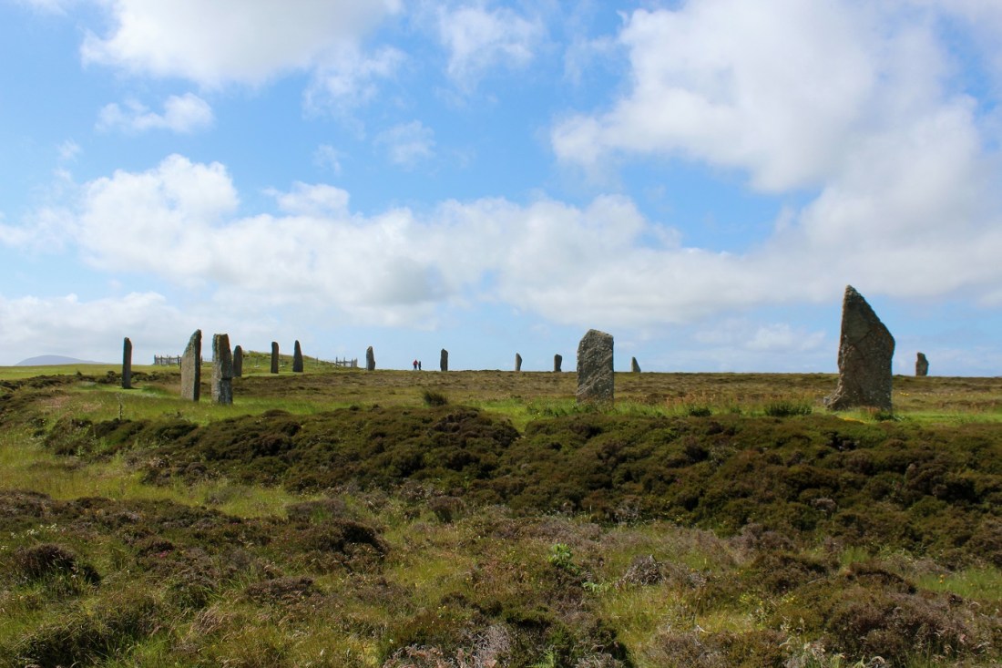
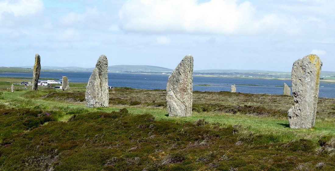
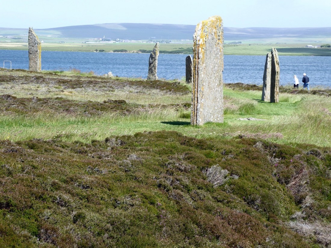
[So, you didn’t know about the Ring of Brodgar? Well, me neither!!]
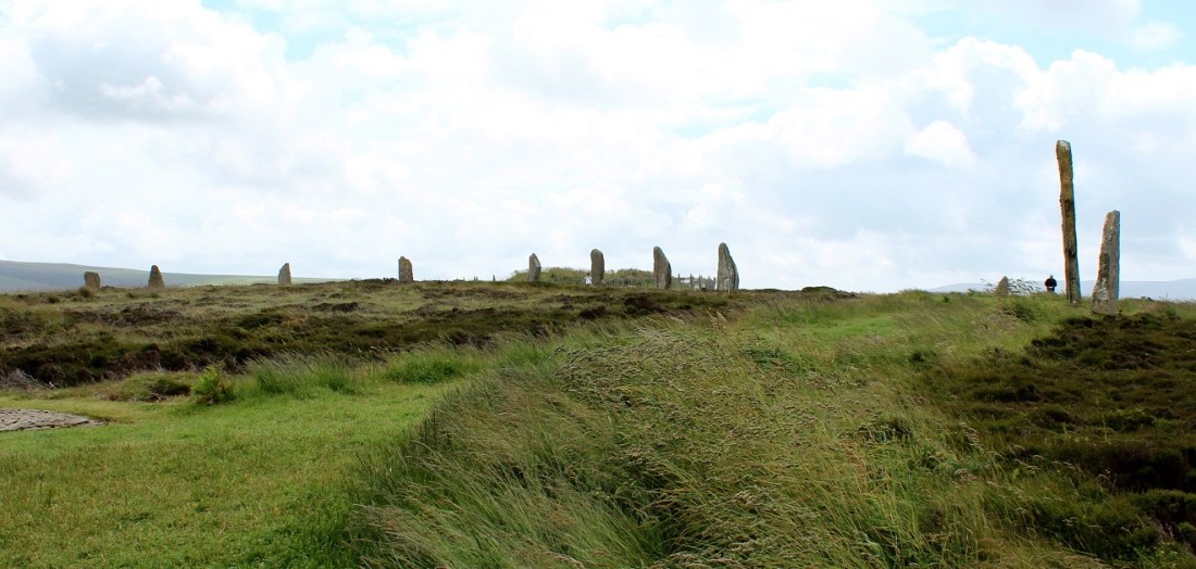
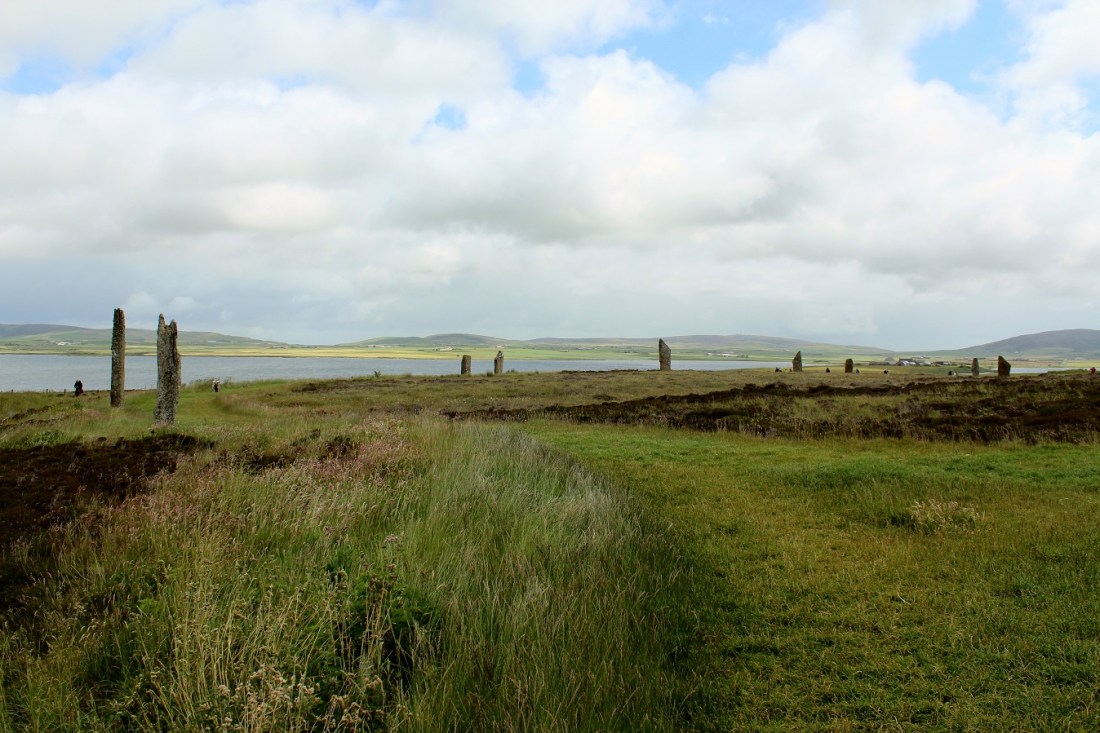
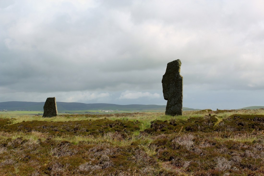
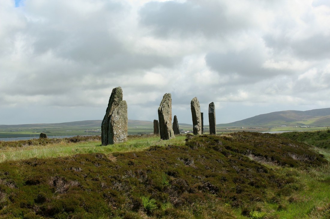
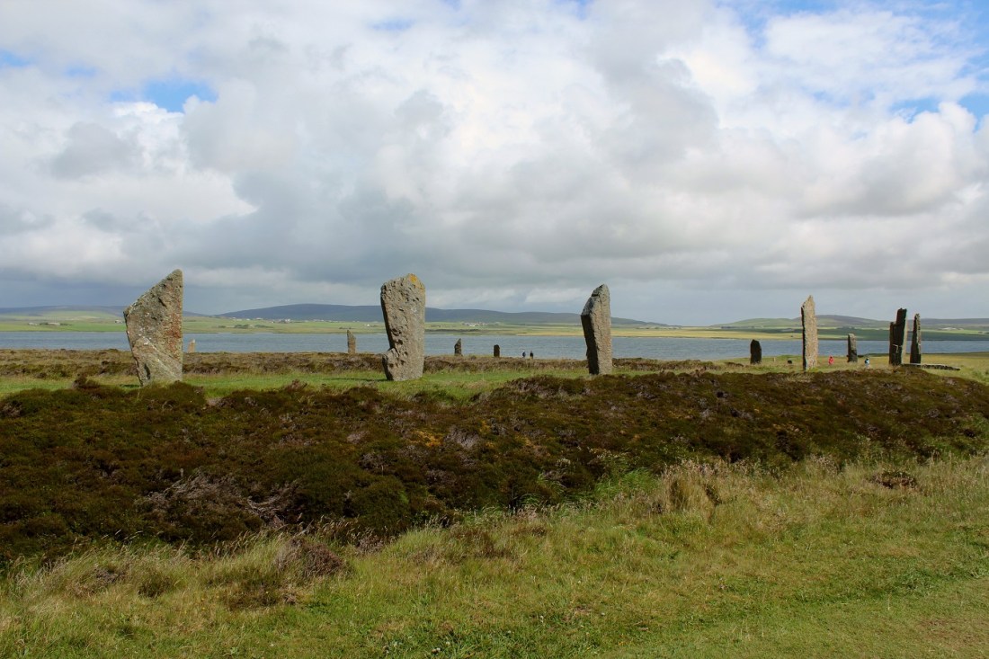
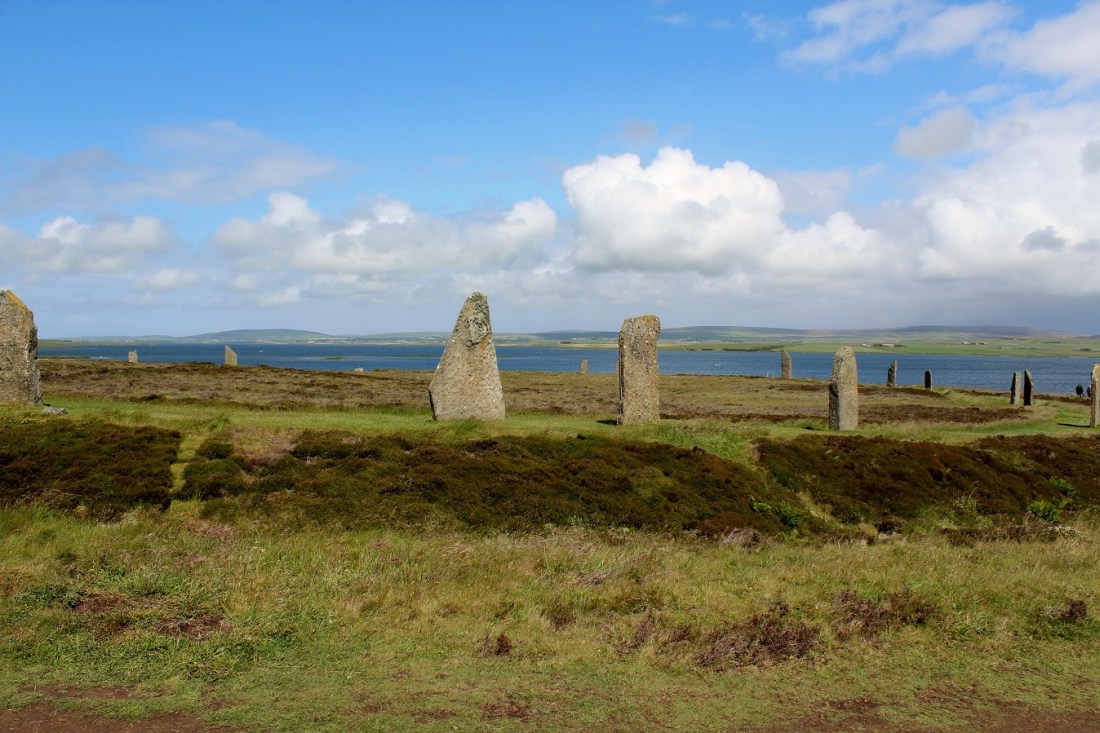
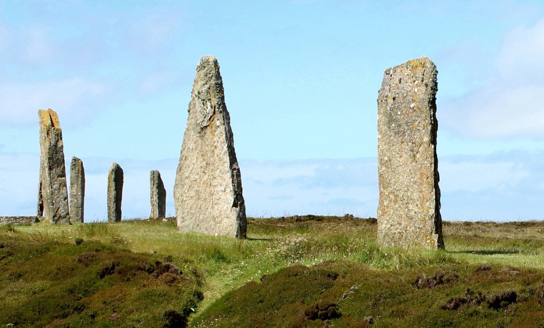
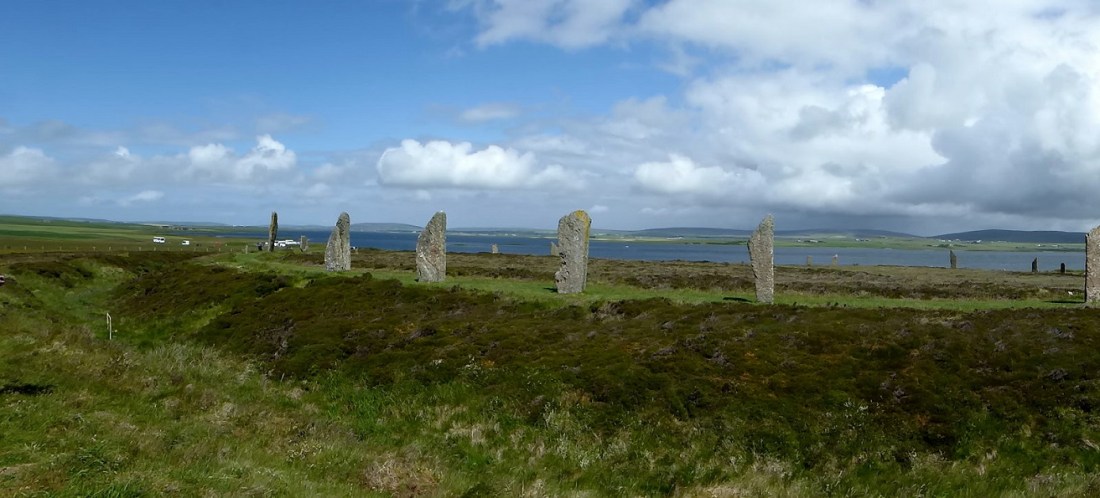
[The Ring of Brodgar (or Brogar, or Ring o’ Brodgar) is a Neolithic henge and stone circle about 6 miles north-east of Stromness on the Mainland, the largest island in Orkney. It is part of the UNESCO World Heritage Site known as the Heart of Neolithic Orkney. Most henges do not contain stone circles; Brodgar is a striking exception. The ring of stones stands on a small isthmus between the Lochs of Stenness and Harray. These are the northernmost examples of circle henges in Britain. Unlike similar structures such as Avebury, there are no obvious stones inside the circle, but since the interior of the circle has never been excavated, the possibility remains that wooden structures, for example, may have been present. The site has resisted attempts at scientific dating and the monument’s age remains uncertain. It is generally thought to have been erected between 2500 BC and 2000 BC, and was, therefore, the last of the great Neolithic monuments built on the Ness [contemporary with Stonehenge, though some project Brodgar likely older]. A project called The Ring of Brodgar Excavation 2008 was undertaken in the summer of that year in an attempt to settle the age issue and help answer other questions about a site that remains relatively poorly understood. The results of the excavation are still preliminary (Wikipedia).]

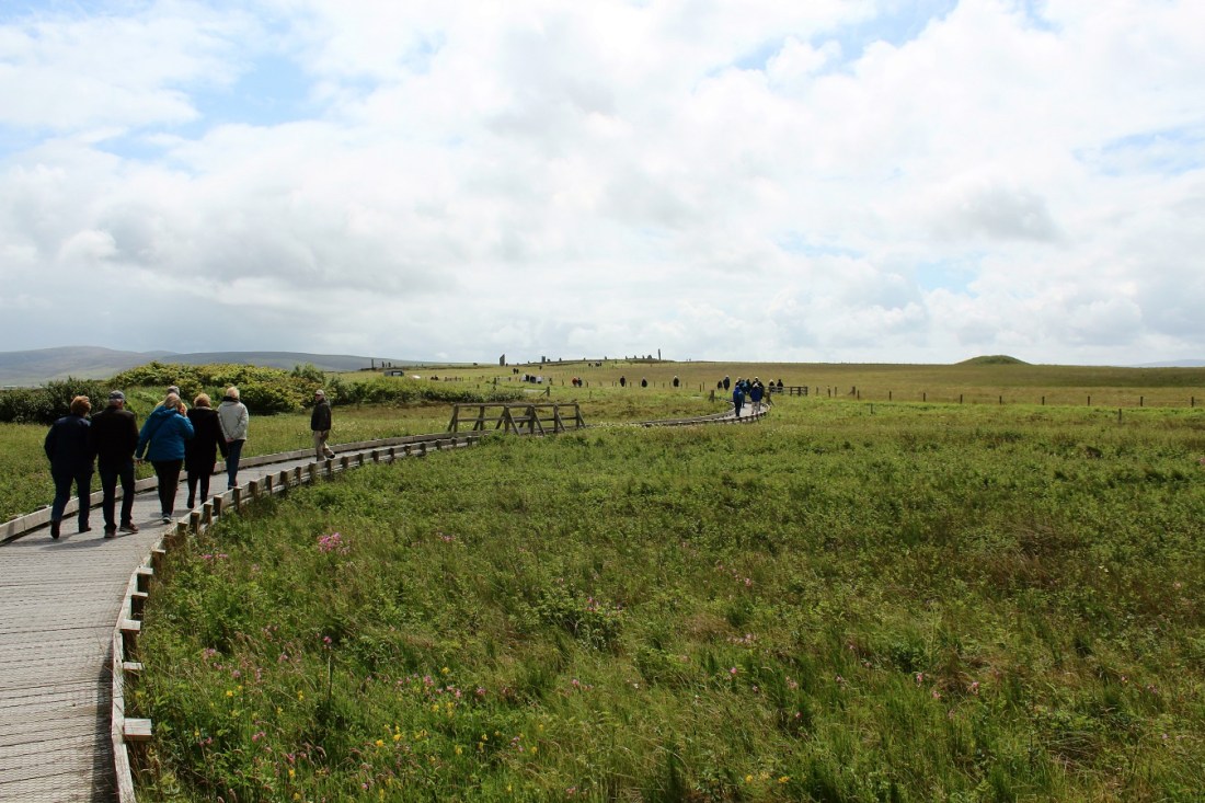
[A pleasant walk to an amazing isolated place not overrun with tourists?]
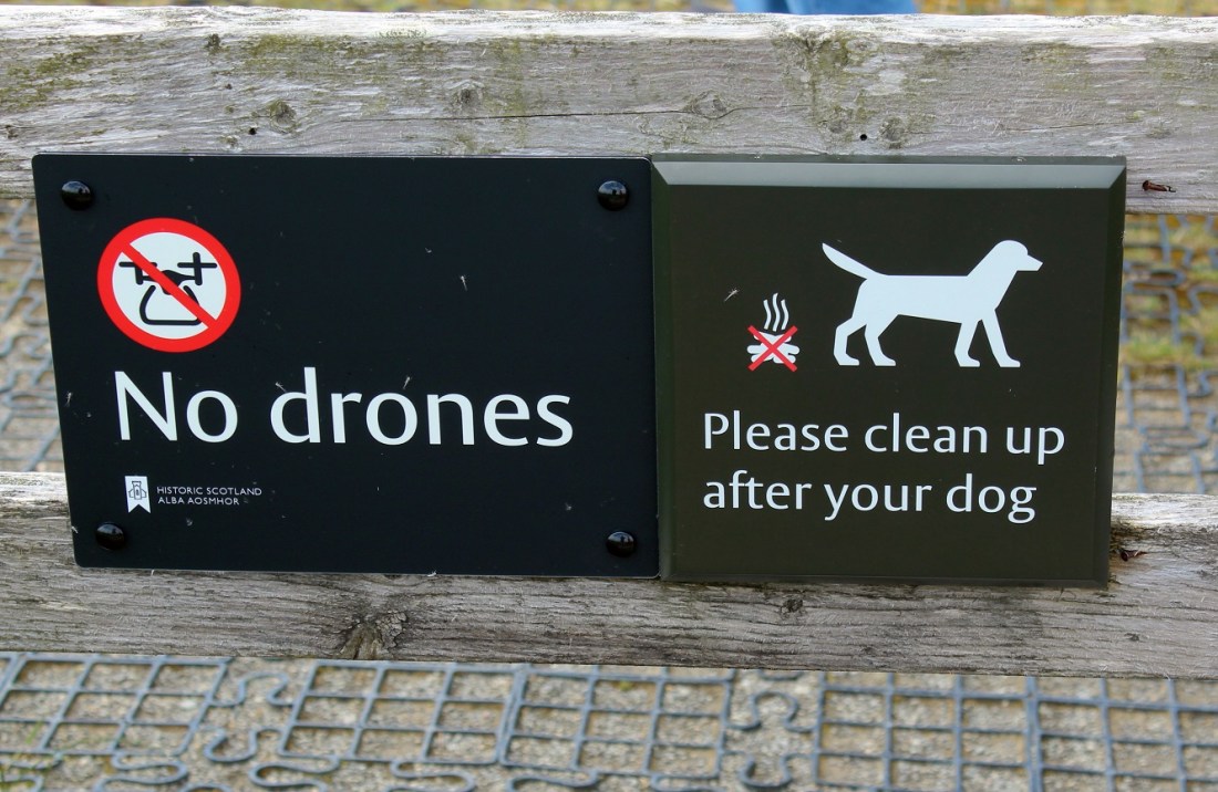
[Or we’ll have drones clean up your dogs!]
[Remember, this is early July and we’re dressed for winter. As they say, it’s the winds!]

[Looking back from whence we came – our bus in the distant parking lot . . . ]

[The stone ring was built in a true circle, almost 104 metres wide. Although it is thought to have originally contained 60 megaliths, this figure is not based on archaeological evidence. Today, only 27 stones remain (okneyjar.com/history/brodgar/).]
[Enclosed by a massive rock-cut ditch, it has two entrance causeways, one to the north-west and the other to the south-east. These two causeways differ in size – the south-eastern one just over one metre in width, compared to the 3.4m wide north-western causeway (orkneyjar.com/history/brodgar/).]
[The Ring of Brodgar was part of an enormous prehistoric ritual complex that incorporated the Stones o’ Stenness, approximately one mile to the south-east, and, probably, the Ring of Bookan to the north-west. A short distance to the east of the Brodgar ring is the solitary standing stone now known as the Comet Stone. The area surrounding the Ring of Brodgar, and the entire Ness, is rich with archaeology – including four massive mounds thought to have been created between 2500 BC and 1500 BC (orkneyjar.com/history/brodgar/).
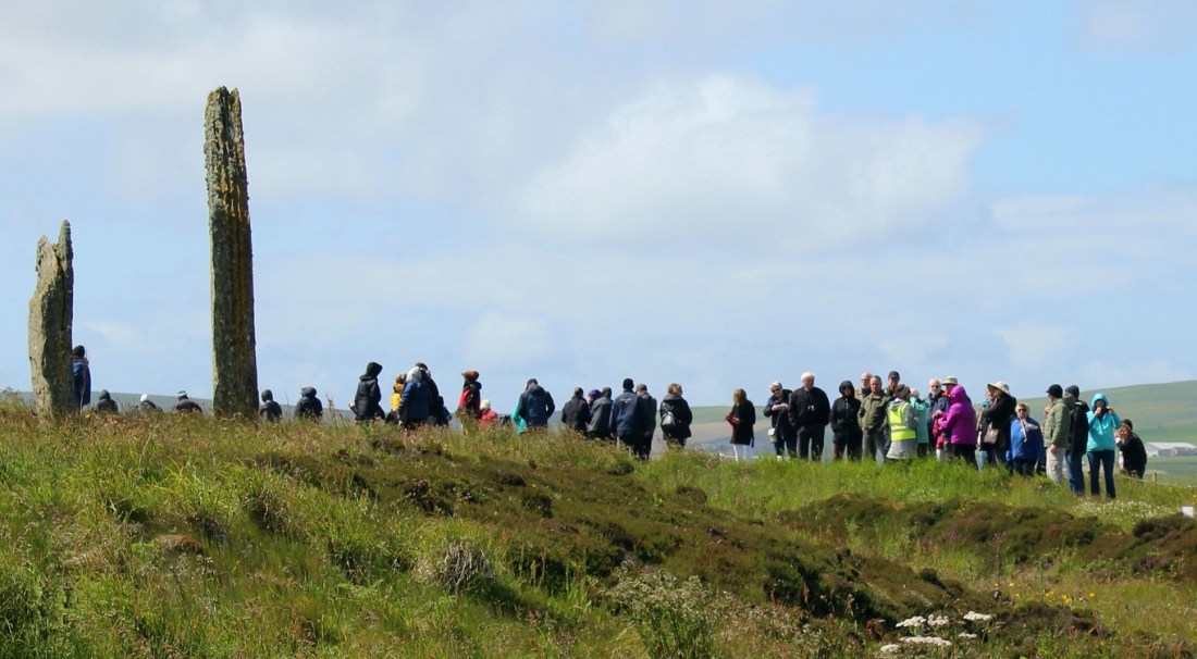
[The woman in the pink hoodie was our guide. I have no idea what she looks like . . . ]

[The barren isolationism was . . . really cool!]

[Now I will just let the pictures tell the story (you’re welcome) . . . ]

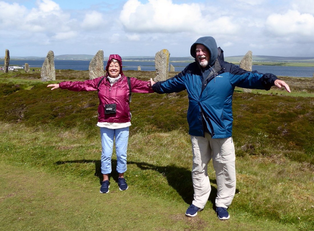
[Two fine looking tourists from far away America . . . ]
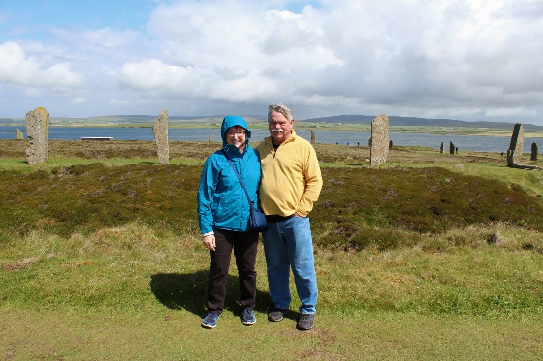

[Likewise, I’m sure . . . ]
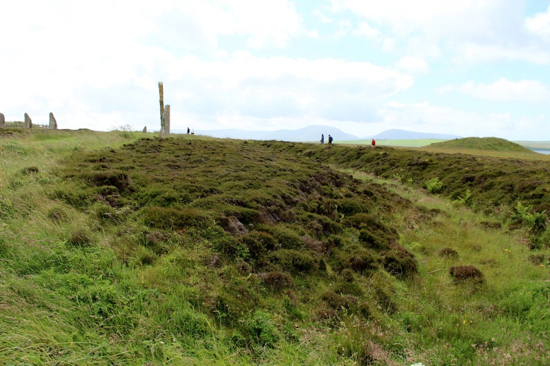
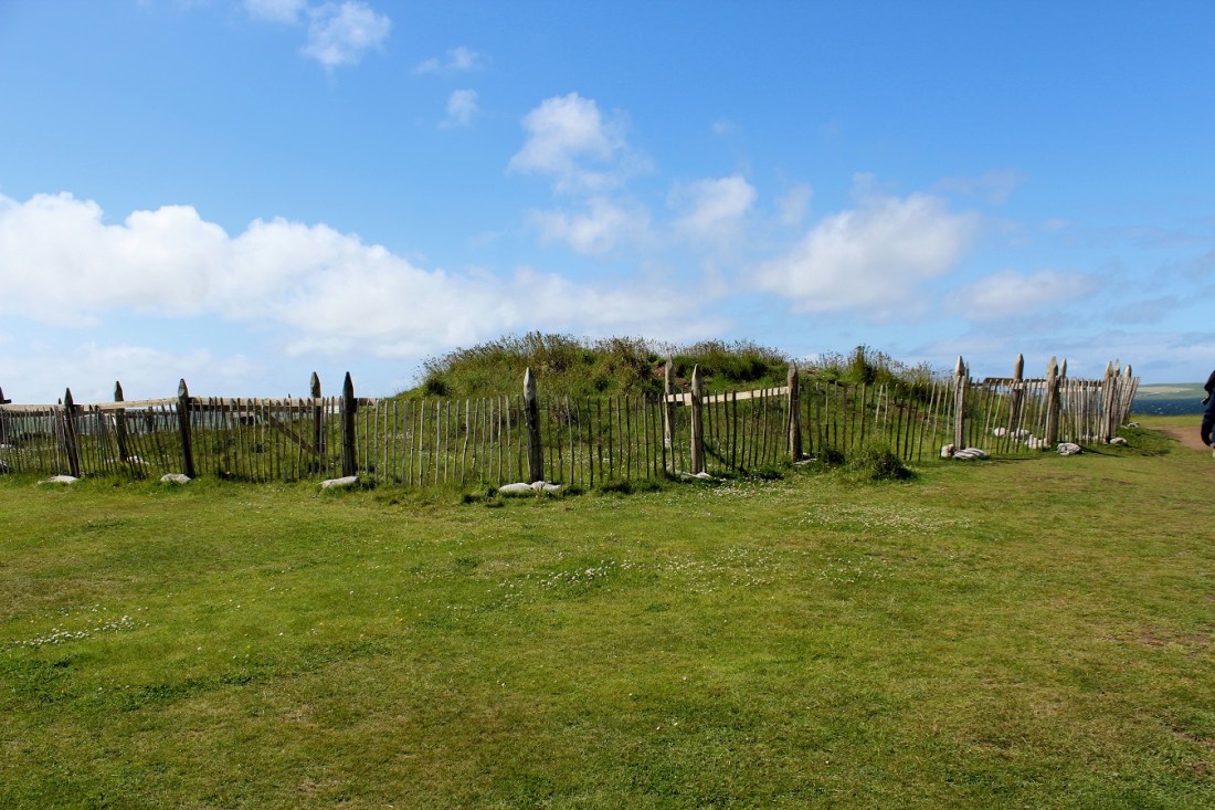
[I suspect the hump was man-made . . . ]

[I suspect the ring of stones was man-made . . . ]
[Saving for excavation?]
[Strictly for the aesthetics . . . ]
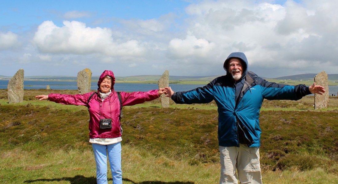
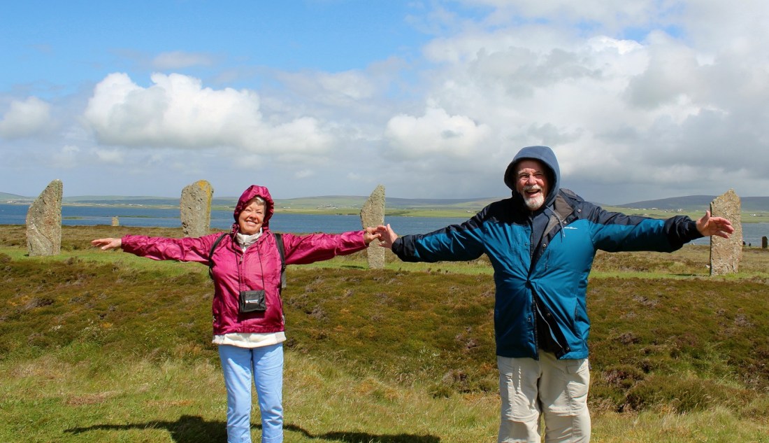
[I love the feel of the wind in my hair . . . ]
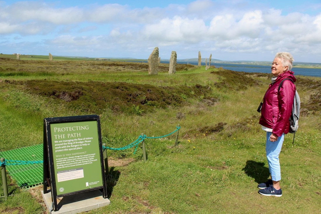
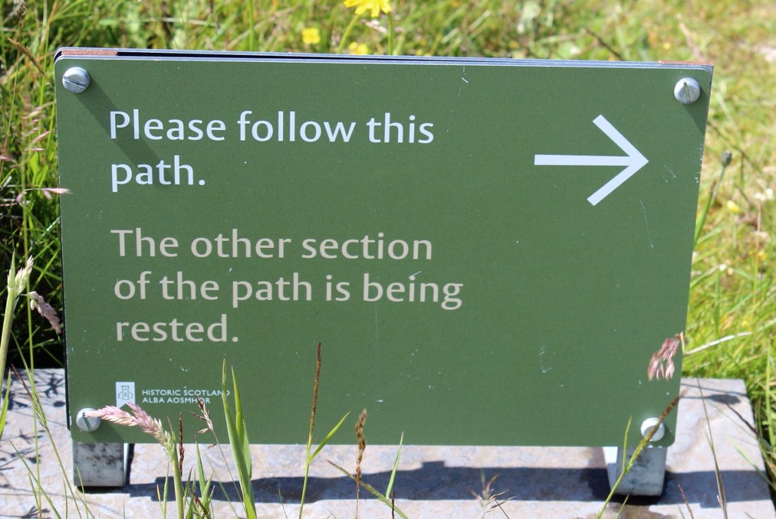
[Only the Scots would give a path a “rest”?]
[Covering all 360 degrees. It is a ring, after all . . . ]
[The next 5 photos were thoughtfully submitted by Bill . . . ]

[Back to me and the visitor information booth . . . ]

[A photo of a photo . . . ]
[Fortunately the information booth was able to provide an example of how they change time here . . . ]

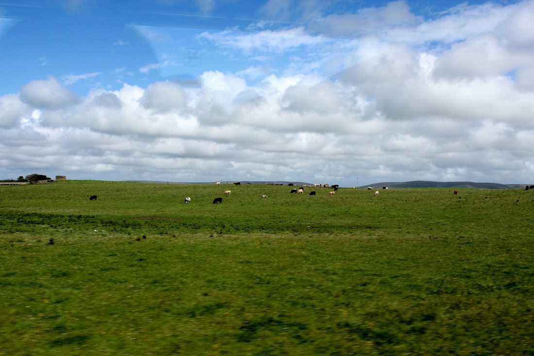
[Bovine . . . ]
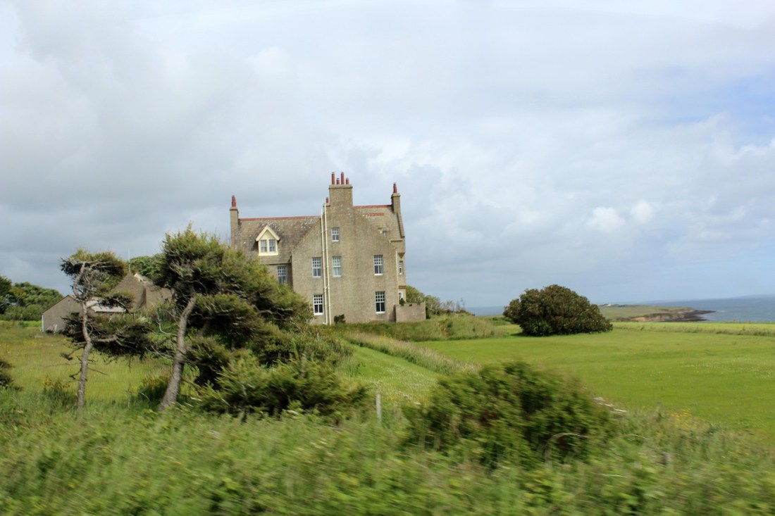
[Looks like something arable . . . ]
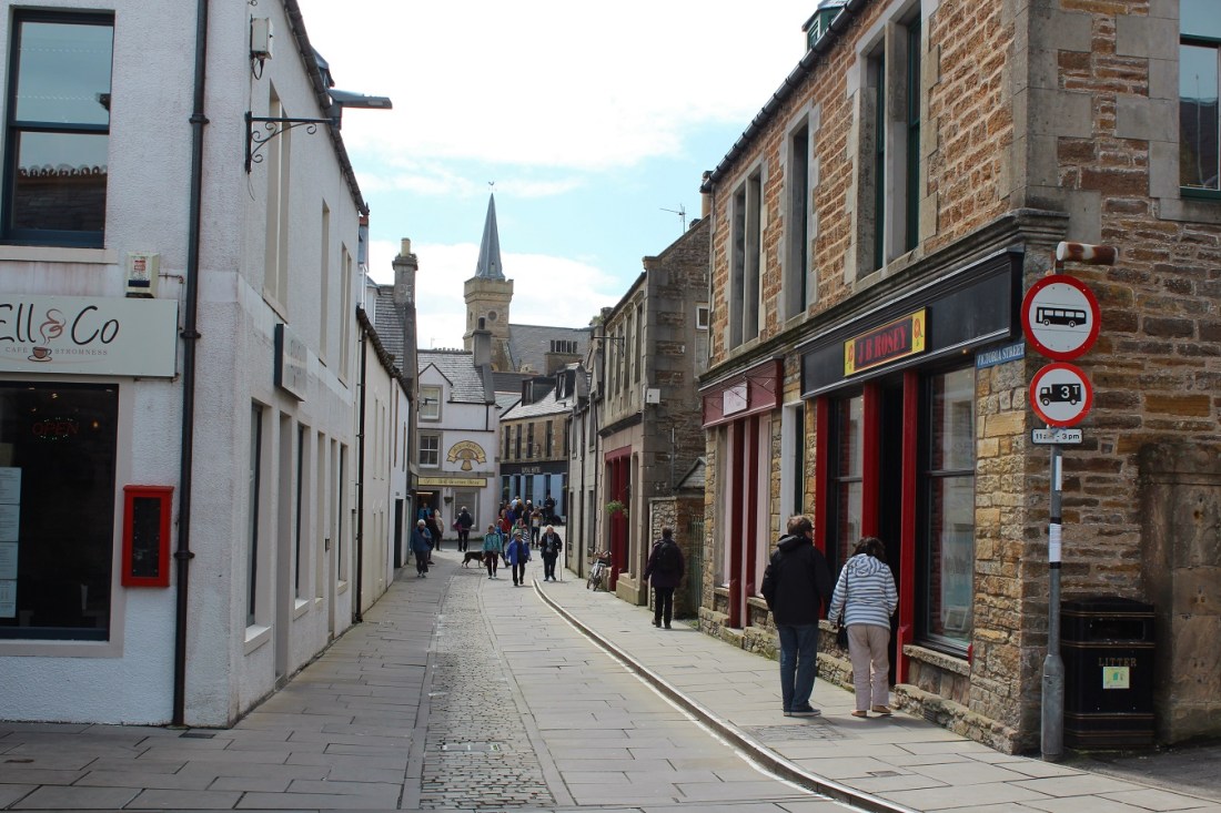
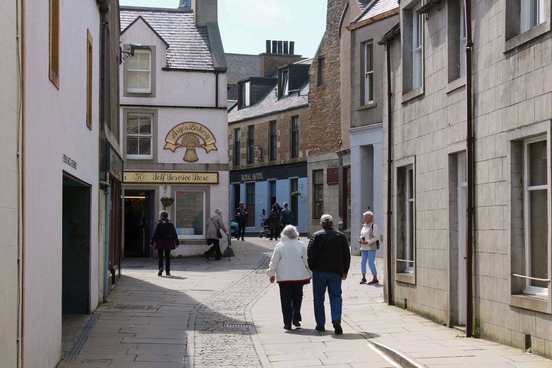
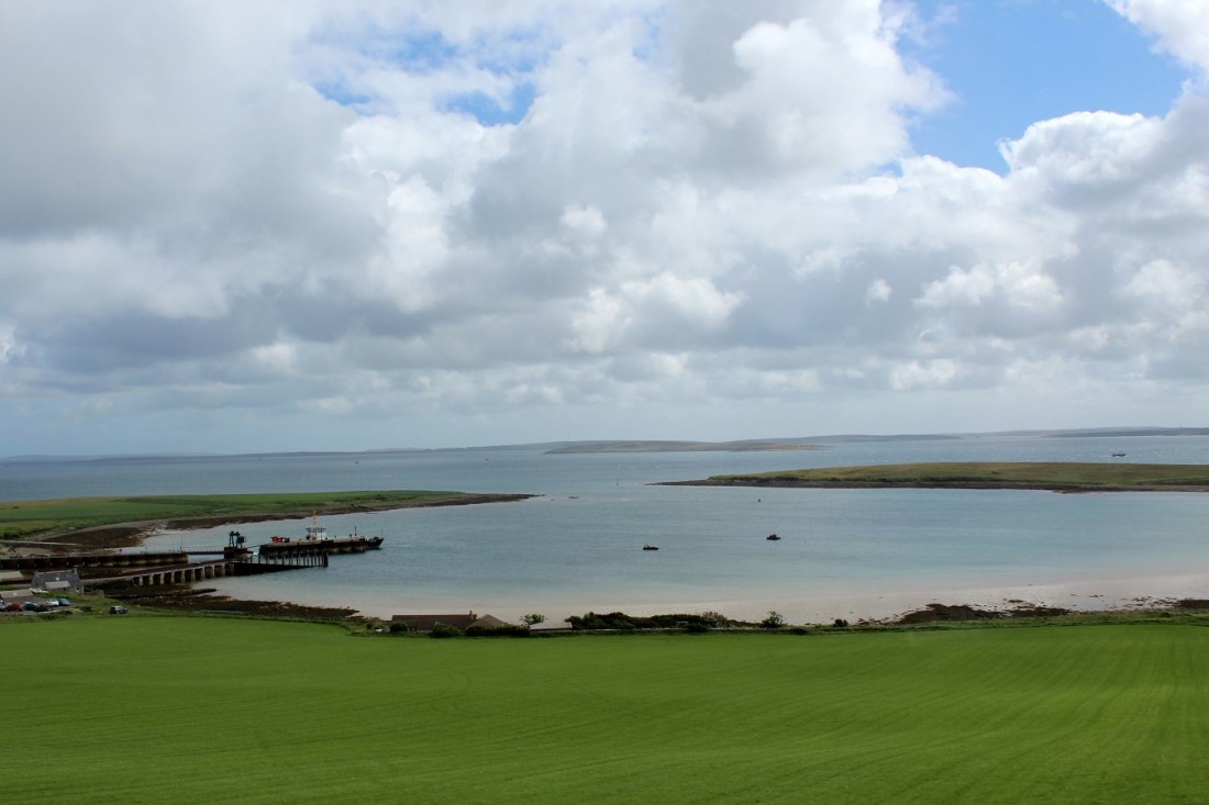
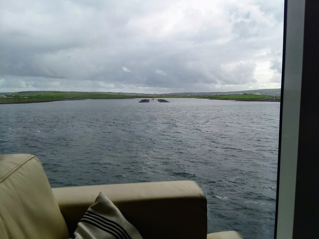
[Stromness . . . ]
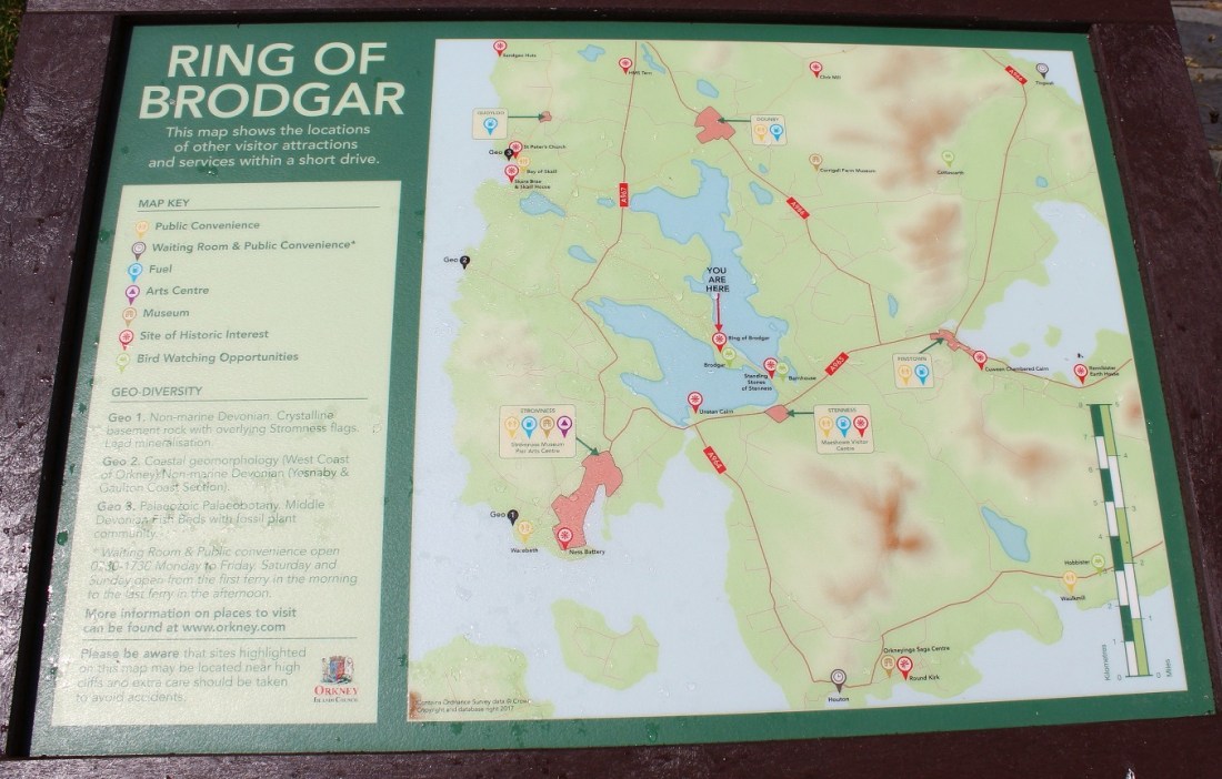
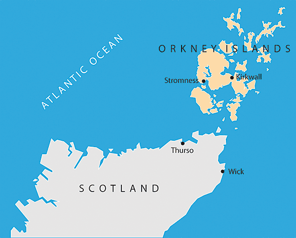
[Where we were in relation to Kirkwall . . . ]
[Stromness is the second-most populous town in Orkney. A long-established seaport, Stromness has a population of approximately 2,190 residents. The old town is clustered along the characterful and winding main street, flanked by houses and shops built from local stone, with narrow lanes and alleys branching off it. There is a ferry link from Stromness to Scrabster on the north coast of mainland Scotland (Wikipedia).]

[The Super appears to have tracked down a bakery . . . ]
[The sign says the Stromness City Hall . . . ]
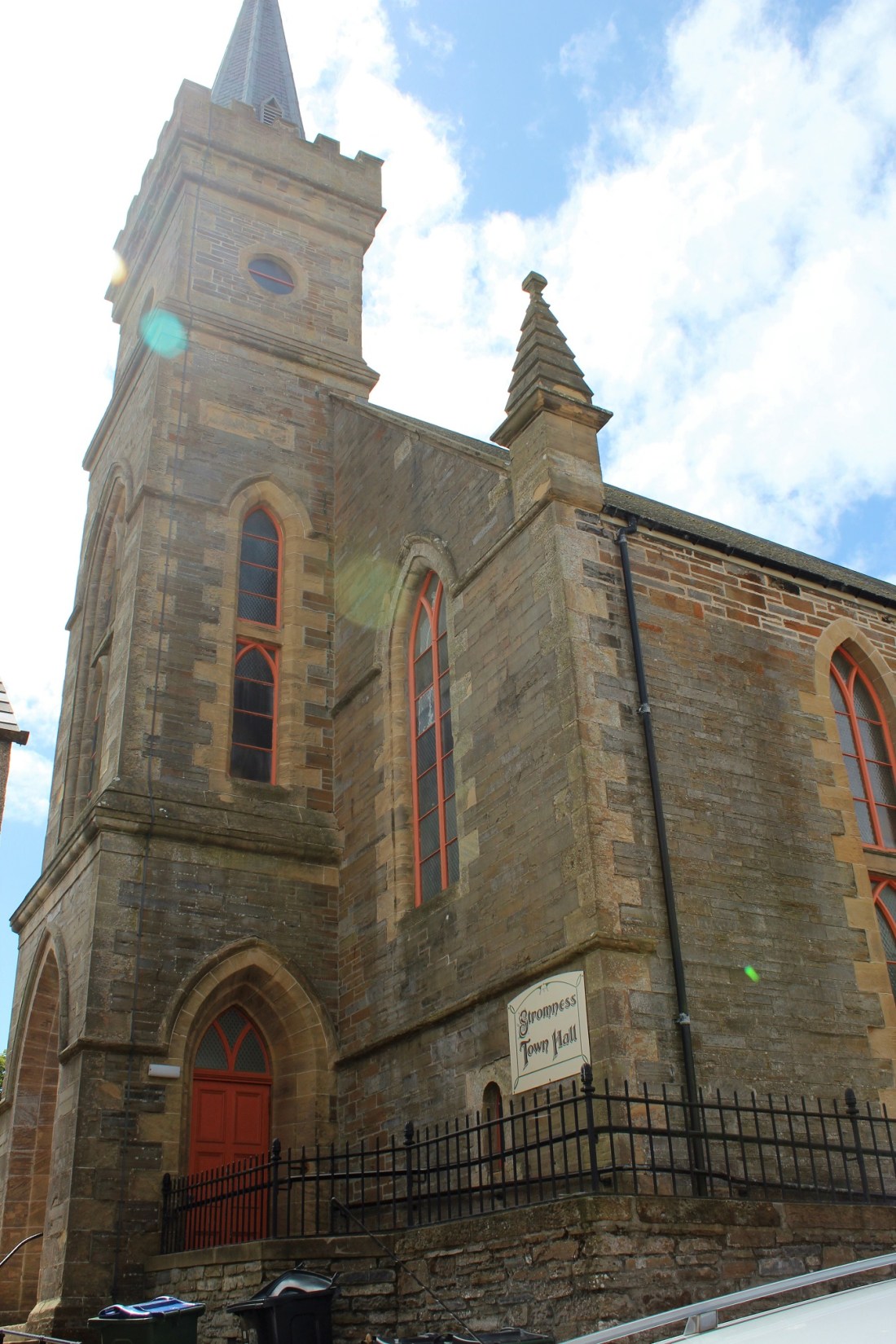
[As I said . . . ]

[Why yes, it does appear to have once been a church . . . ]
[The harbor from a commercial neighborhood . . . ]

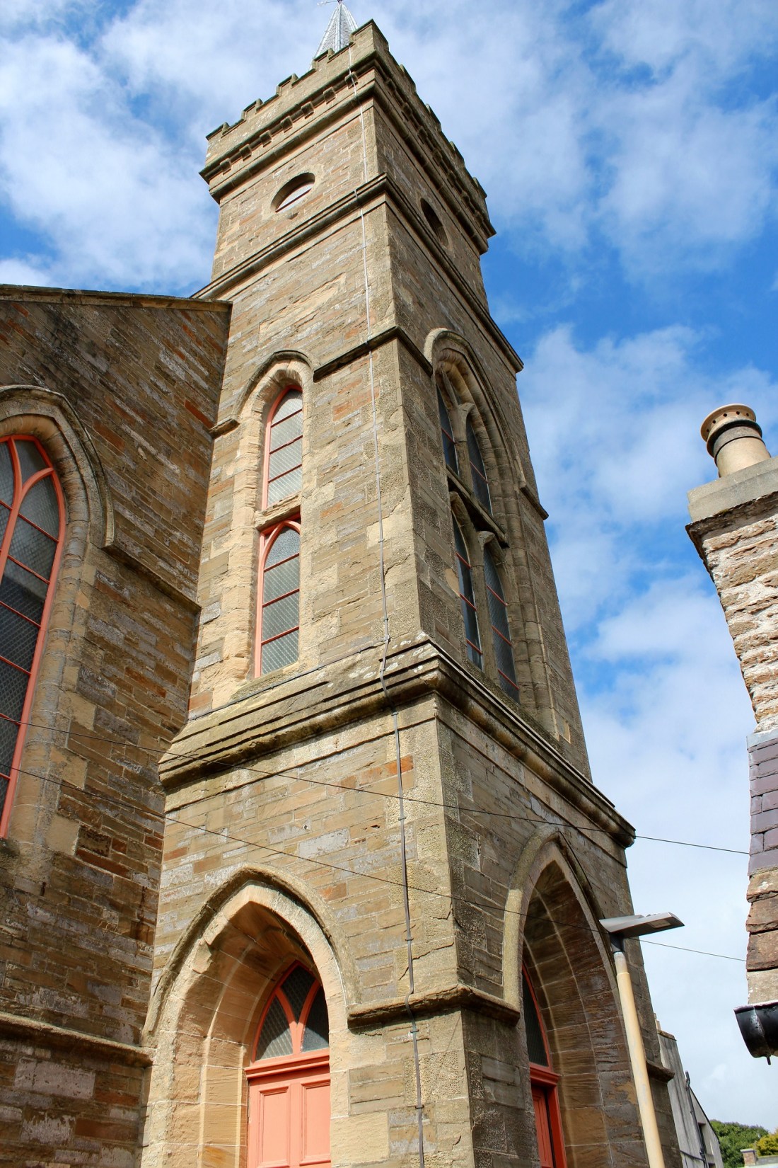
[Is still a church . . . ]

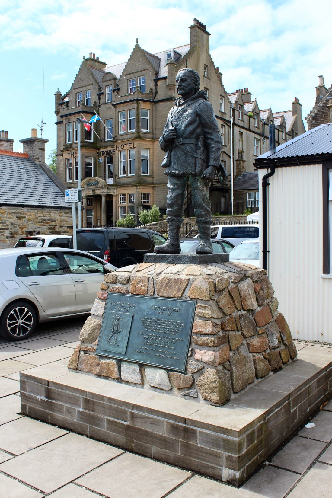
[Here’s our famous Mr. Rae again . . . ]

[Stromness harbour was rebuilt in 1893 to the designs of John Barron. At Stromness Pierhead is a commemorative statue by North Ronaldsay sculptor Ian Scott, unveiled in 2013, of John Rae standing erect, with an inscription describing him as “the discoverer of the final link in the first navigable Northwest Passage” (Wikipedia).]

[Rae in relation to the Stromness Hotel . . . ]
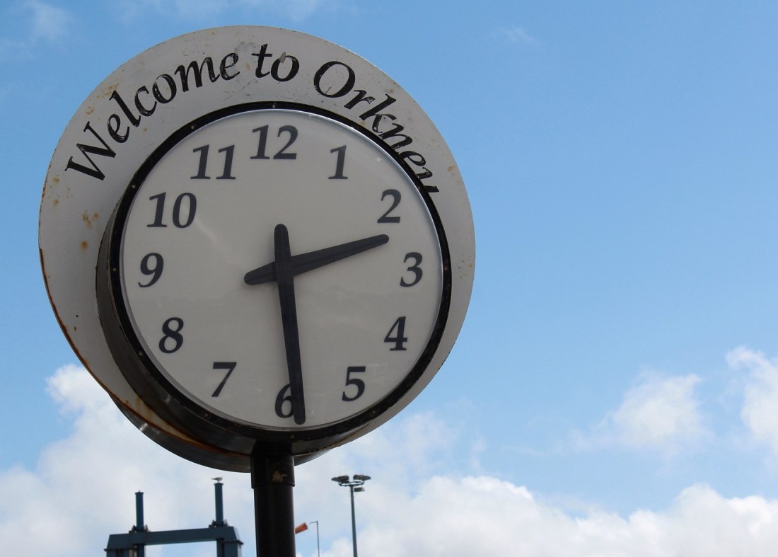
[It’s 2:29 pm . . . ]
[Back on the bus for the trip back to Kirkwall . . . ]

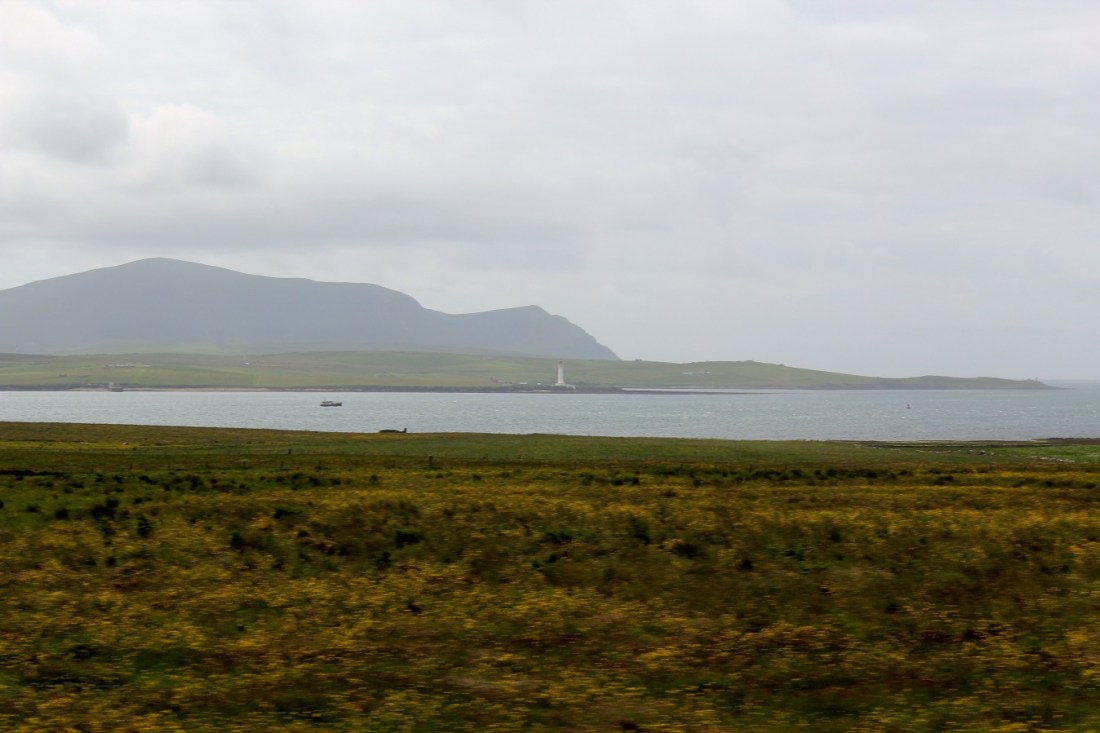
[Sights, if not sounds, along the way . . . ]
[The Super doing something on the bus . . . ]

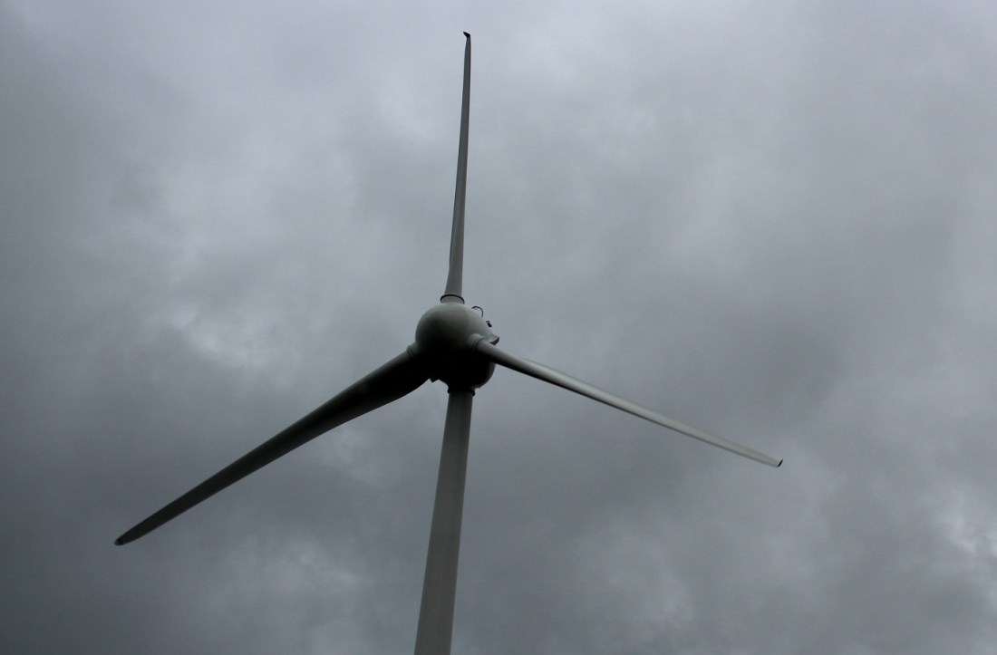
[A propeller (as opposed to an amateur one) . . . ]
[We are now magically back on the ship . . . ]
[On the sea again . . . ]
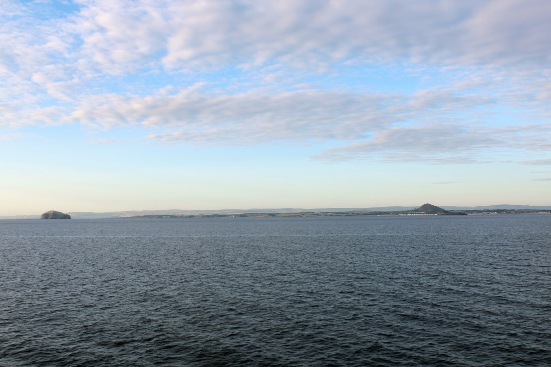
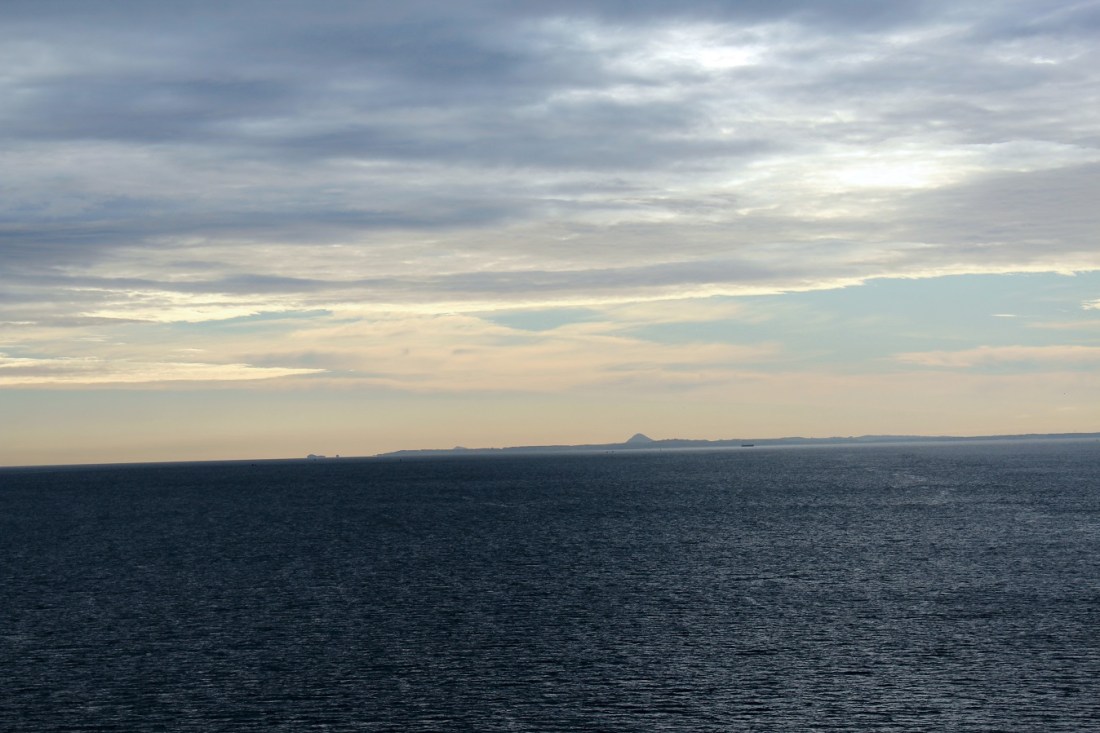
[Bidding adieu to Orkney . . . ]
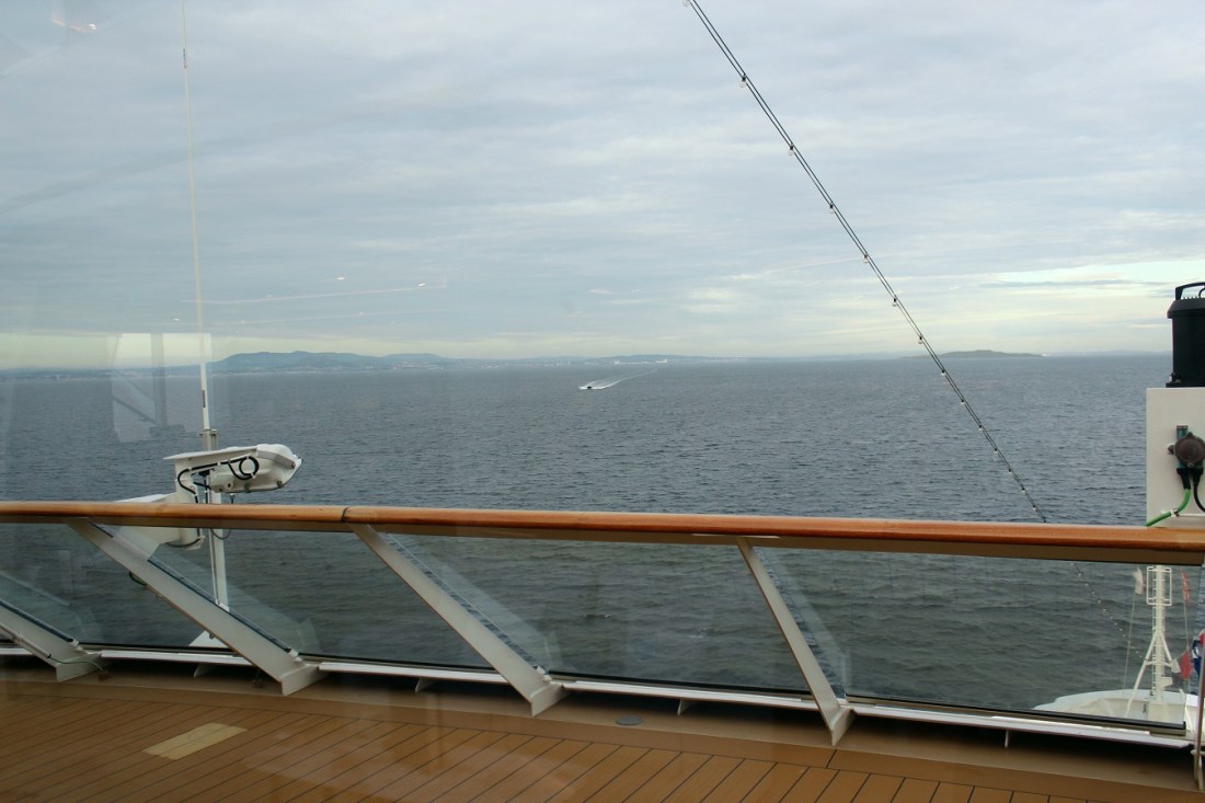
[And Orkney to us . . . ]

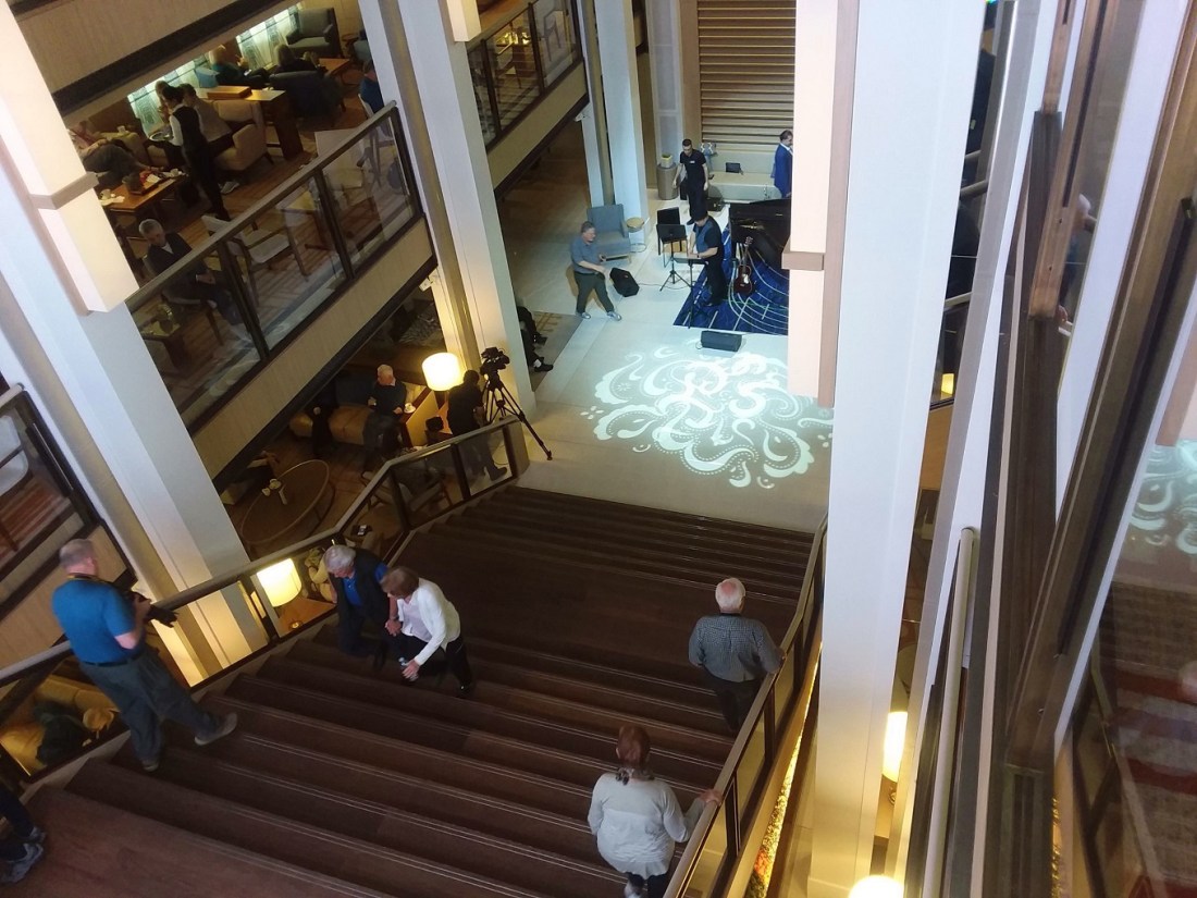
[Passing by the atrium on the way to dinner . . . ]

[The view from the dining room . . . ]
[The view in the dining room . . . ]
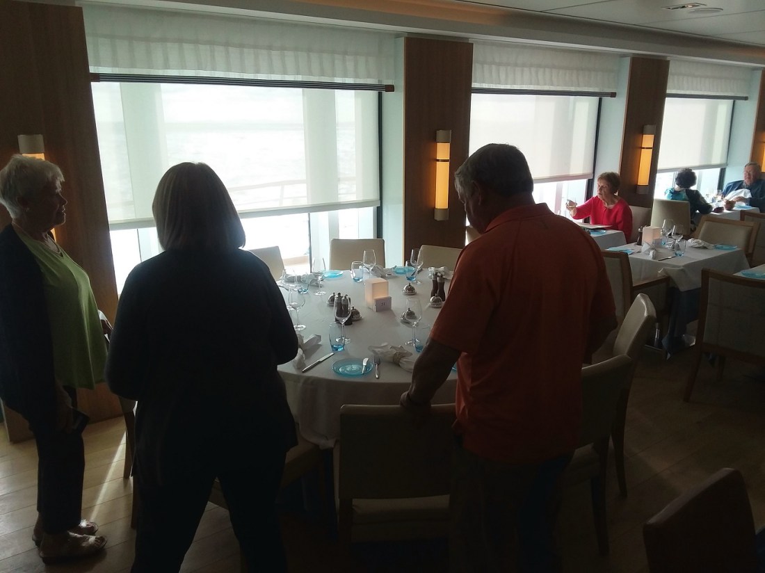
[Looks like we’ve selected this table . . . ]
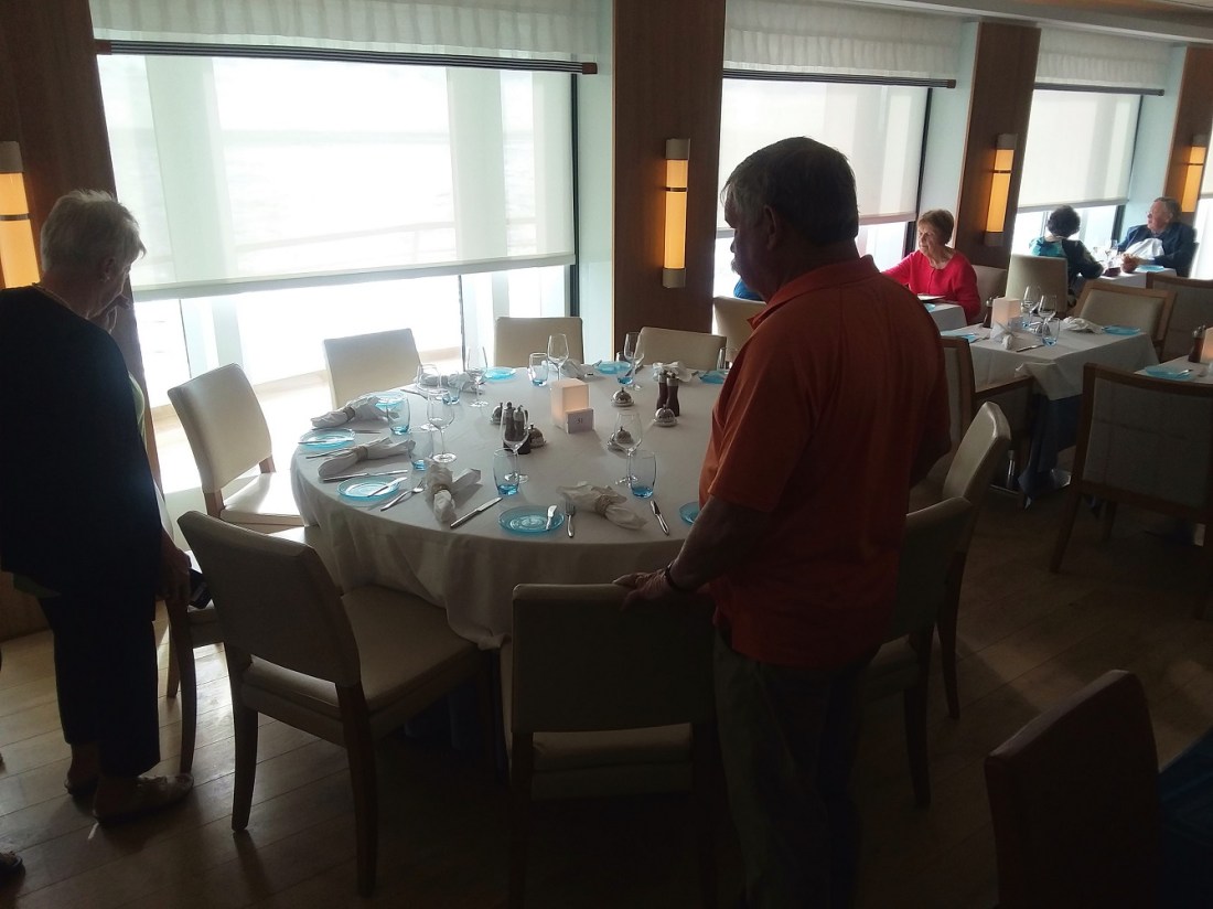
[The views after eating . . . ]
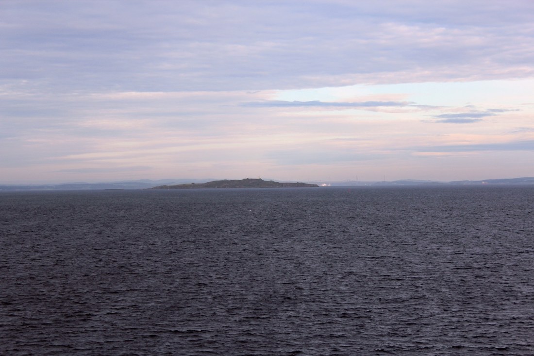
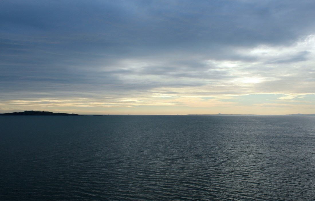
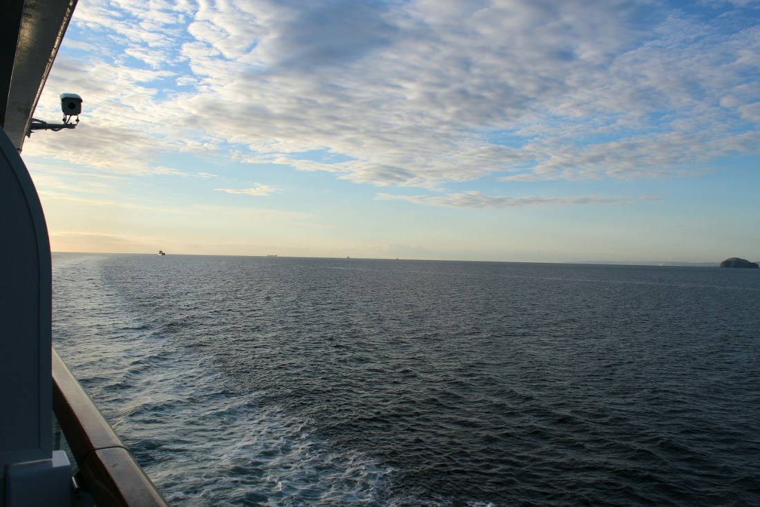
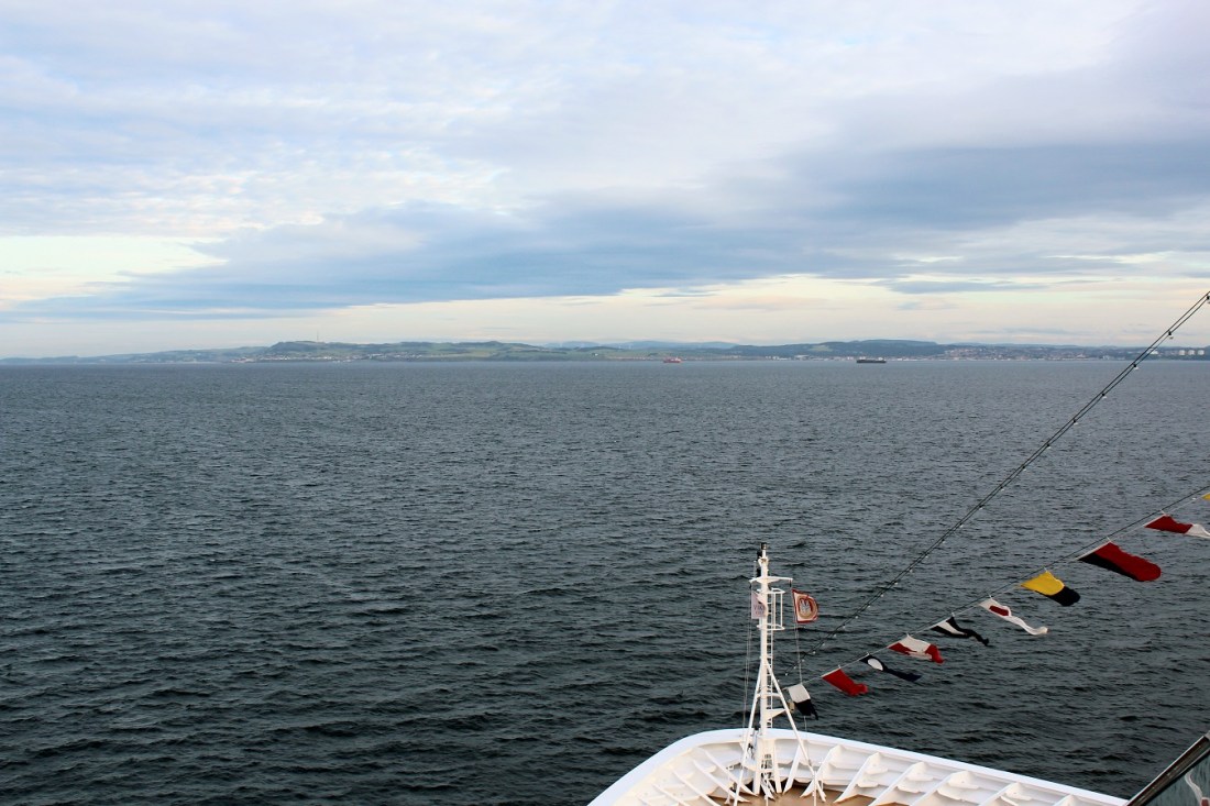
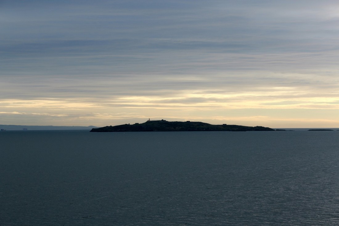
[Heading south . . . ]
[Next stop, the Great Britain mainland in Edinburgh, Scotland . . . ]
I like long walks, especially when they are taken by people who annoy me. ~ Fred Allen
Up Next: Either Edinburgh or Washington, D.C.
