June 20
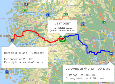
Oslo – Flam
On the road again . . .
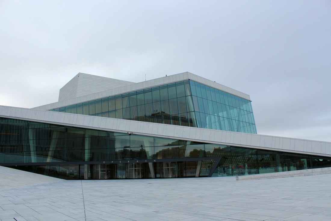
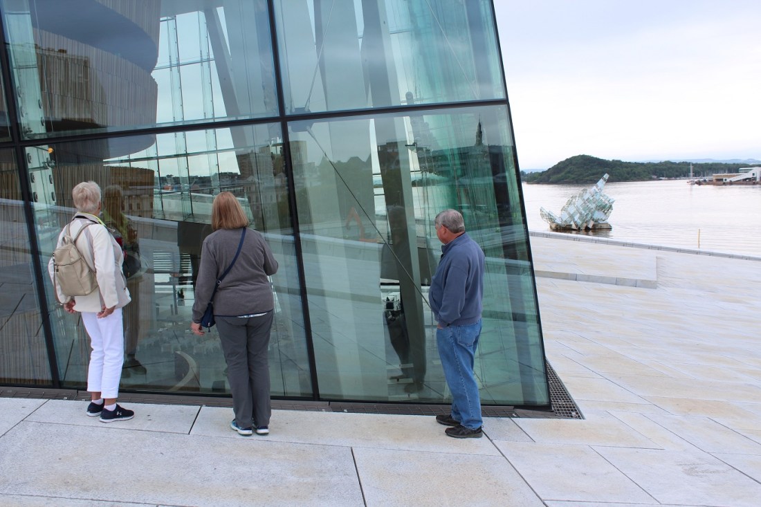
[Our last morning in Oslo. Anne and Bill would have one more night here. Before we schlepped off to the train station, we did one last tour of the area – specifically to visit the opera house . . . ]
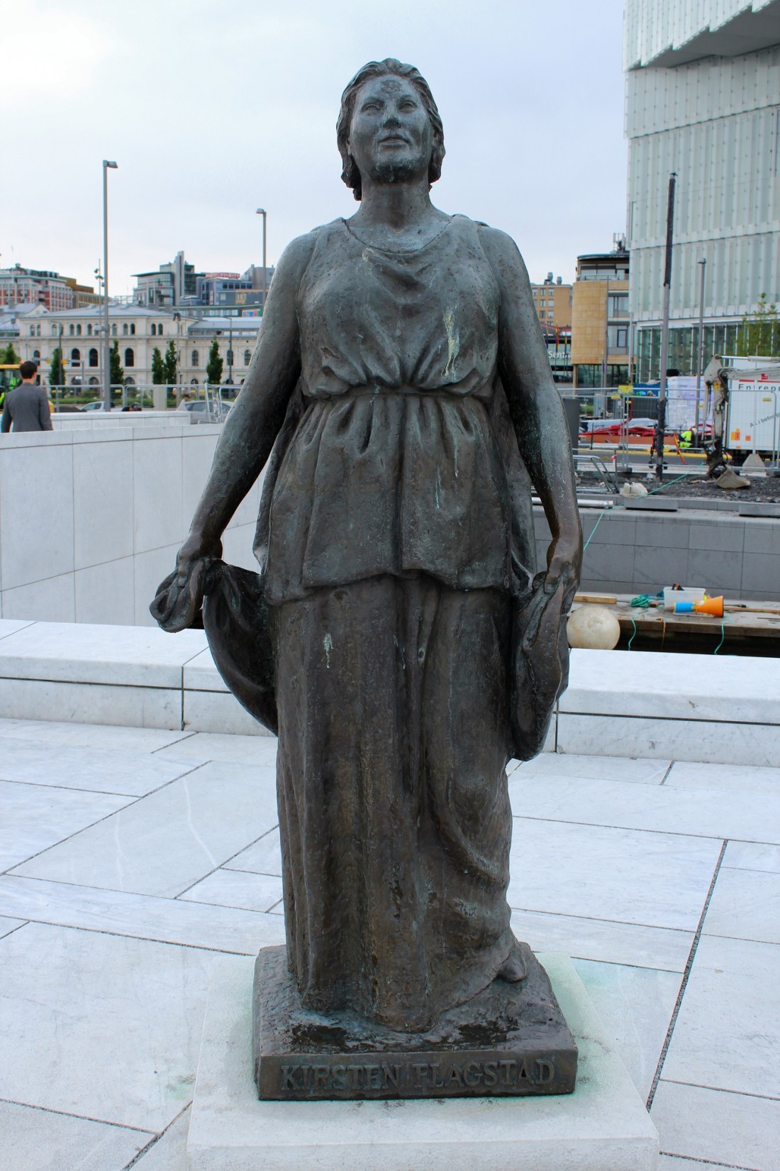
[Kirsten Malfrid Flagstad (12 July 1895 – 7 December 1962) was a Norwegian opera singer and a highly regarded Wagnerian soprano. She ranks among the greatest singers of the 20th century, and many opera critics called hers “the voice of the century.” Desmond Shawe-Taylor wrote of her: “No one within living memory surpassed her in sheer beauty and consistency of line and tone” (Wikipedia).]
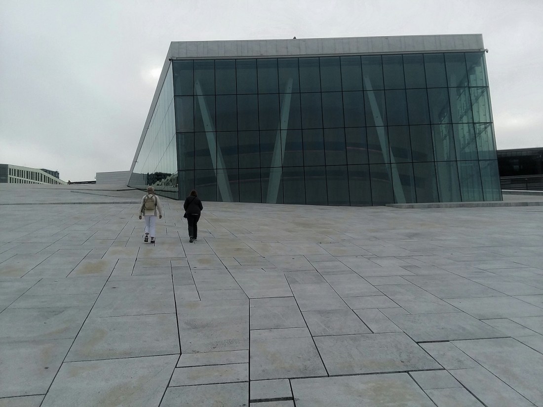
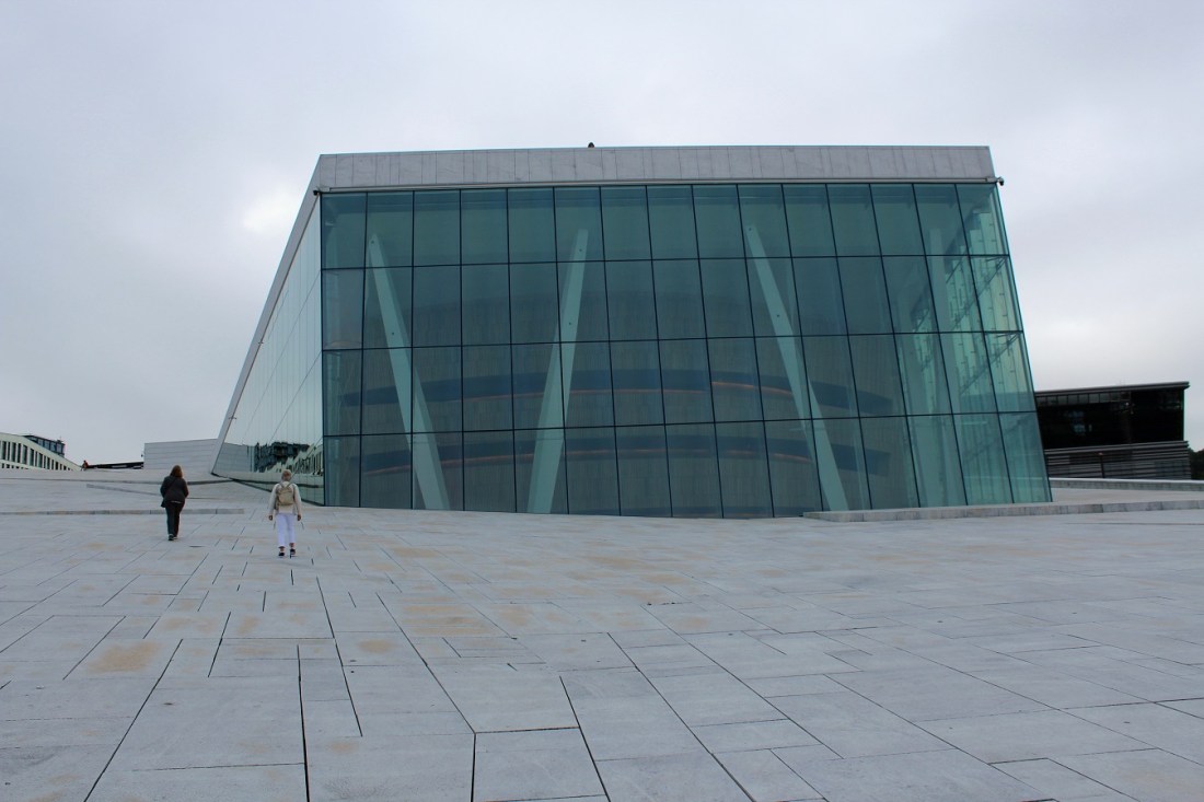
[The Oslo Opera House, up close and personal . . . ]
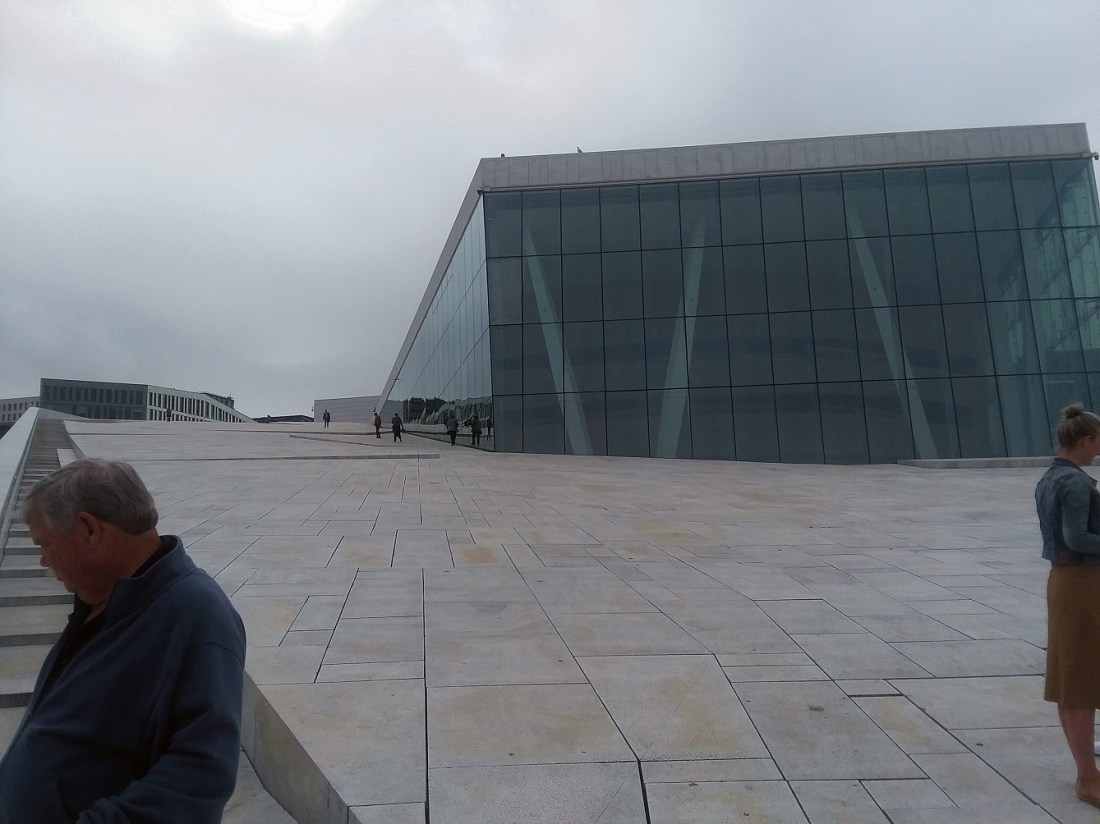
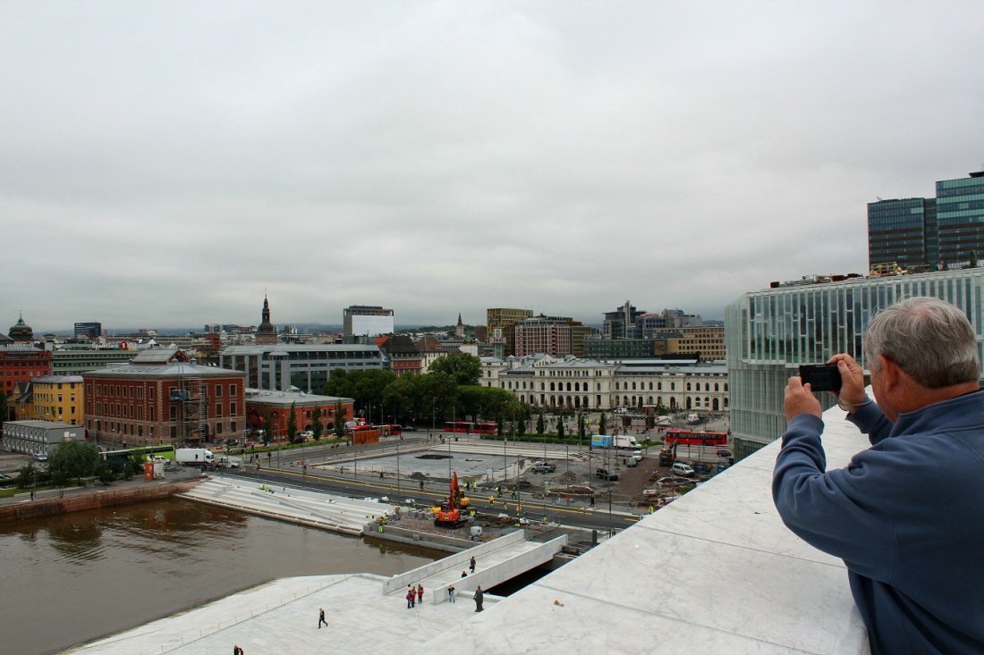
[The Super and Anne lead the assault on the summit . . . ]
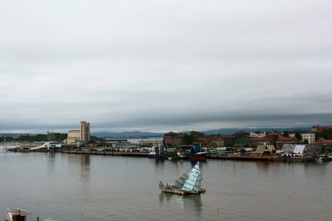
[A pause to peek in a window. She Lies in the watery background . . . ]
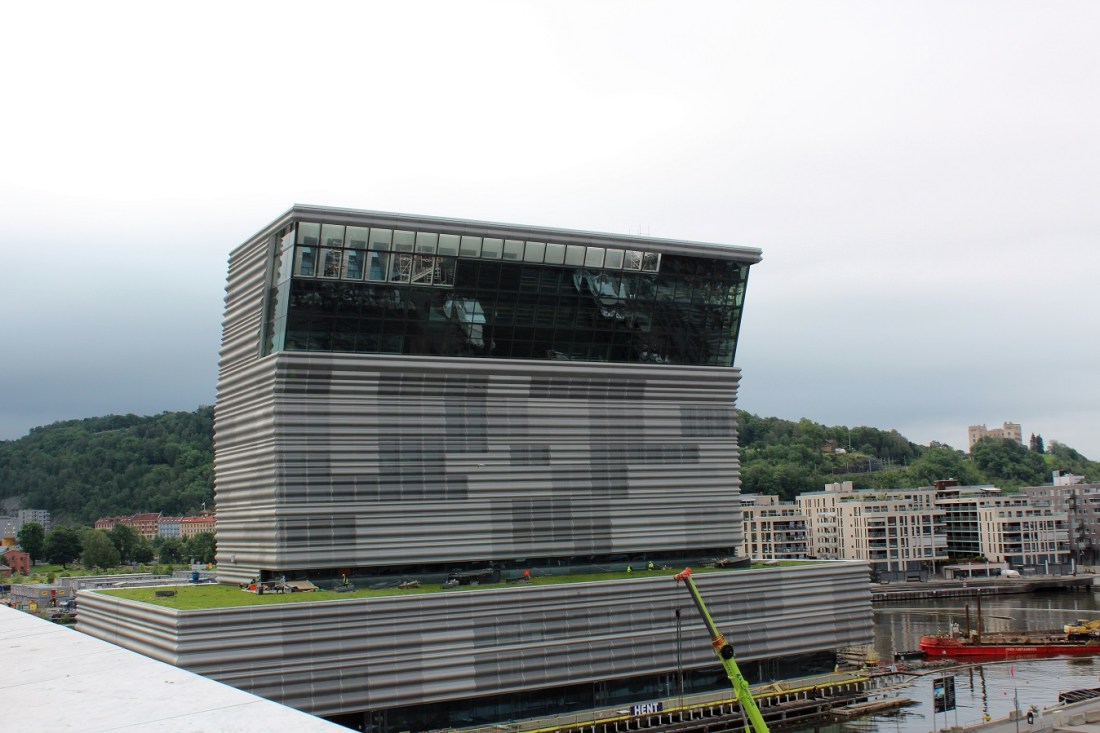
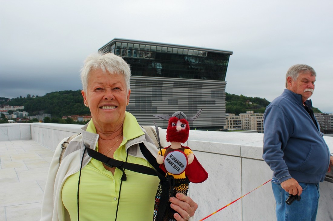
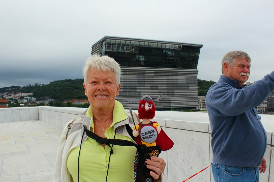
[And just behind is the new Munch Museum . . . ]
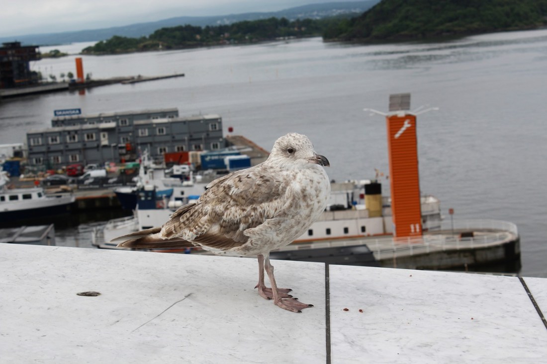
[A foreground avian model for a view of She Lies . . . ]
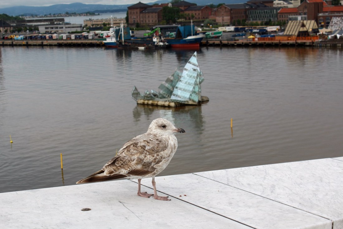
[The herring gull was obviously quite comfortable among homo sapiens . . . ]
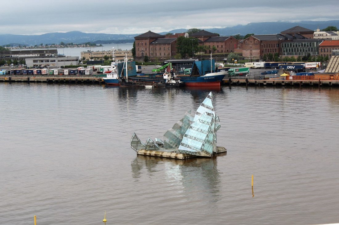
[She Lies (but OK as long as she doesn’t use Twitter) . . . ]
[With the new Munch in the background, the Super, Ole, and Bill on top of the opera house . . . ]
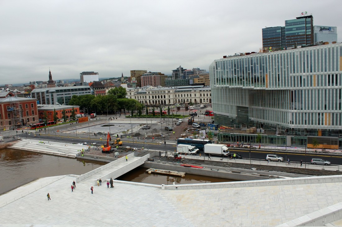
[Lots of construction; and lots of cloudy skies. We would see plenty of both the rest of the trip . . . ]

[Bjørvika is a neighborhood in the Sentrum borough. The area is an inlet in the inner Oslofjord, situated between Gamlebyen and Akershus Fortress. It serves as an outlet for the river Akerselva. Since the 2000s, it has been undergoing urban redevelopment, being transformed from a container port. When completed, the Bjørvika neighborhood will be a new cultural and urban center in Oslo. The multi-purpose medium-rises of the Barcode Project dominates the skyline to the north; to the east the residential area of Sorenga is under construction. The National Opera is located at Bjørvika, and both the Oslo Public Library and the Munch/Stenersen museum is currently under construction here, the latter replacing the existing Munch Museum in 2020 (Wikipedia).]

[Bill shooting back at our plaza . . . ]
[Dredging appears to be part of the overall area redevelopment . . . ]
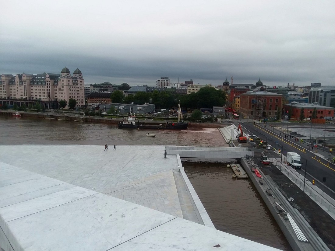
[Stepping back down to . . . ]

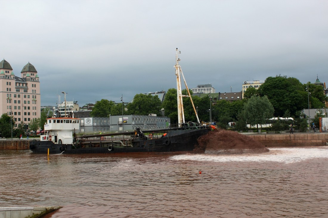
[The close-up dredging . . . ]
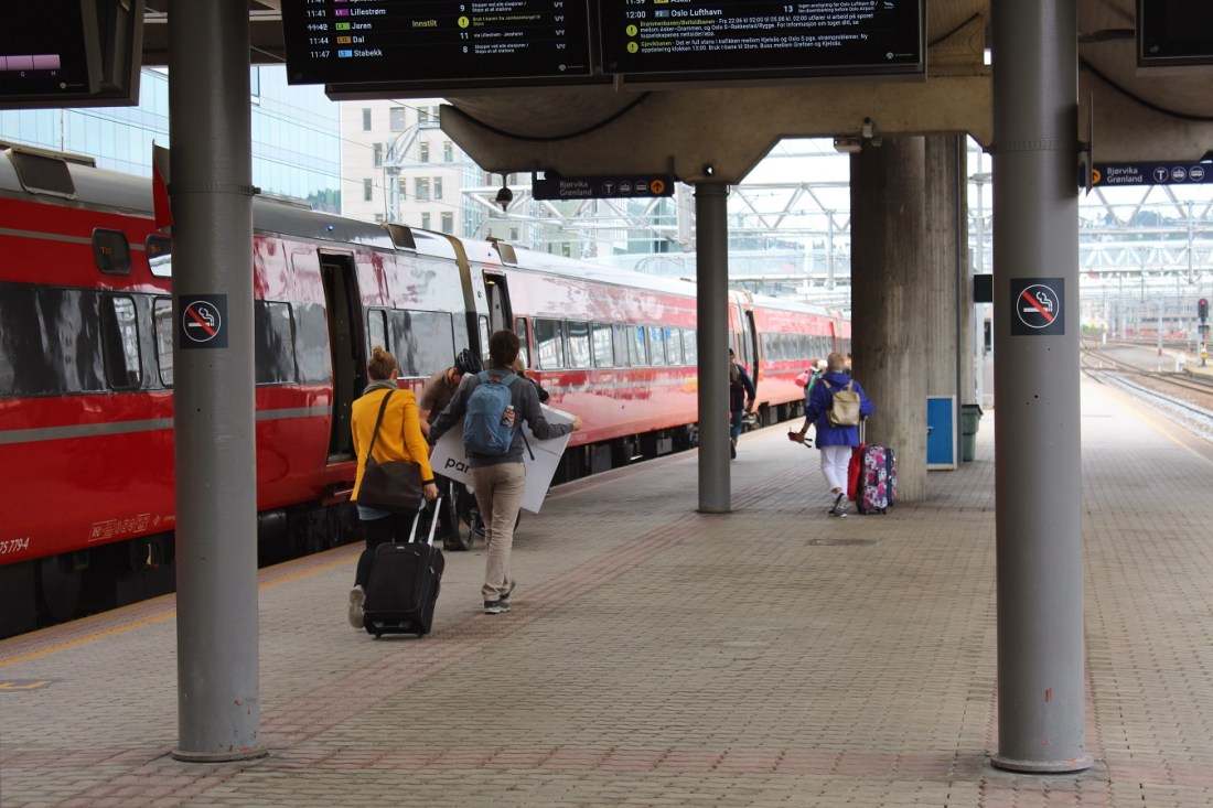
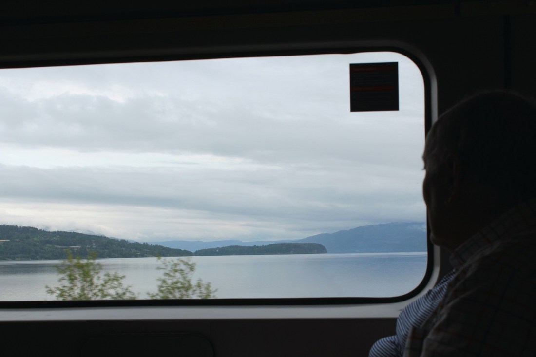
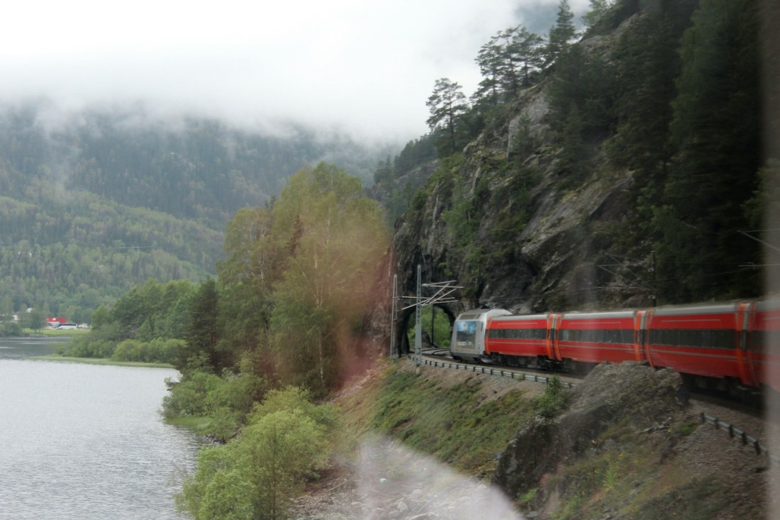
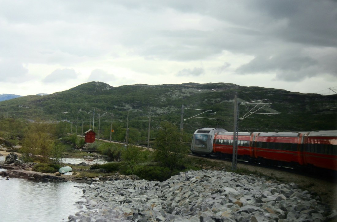
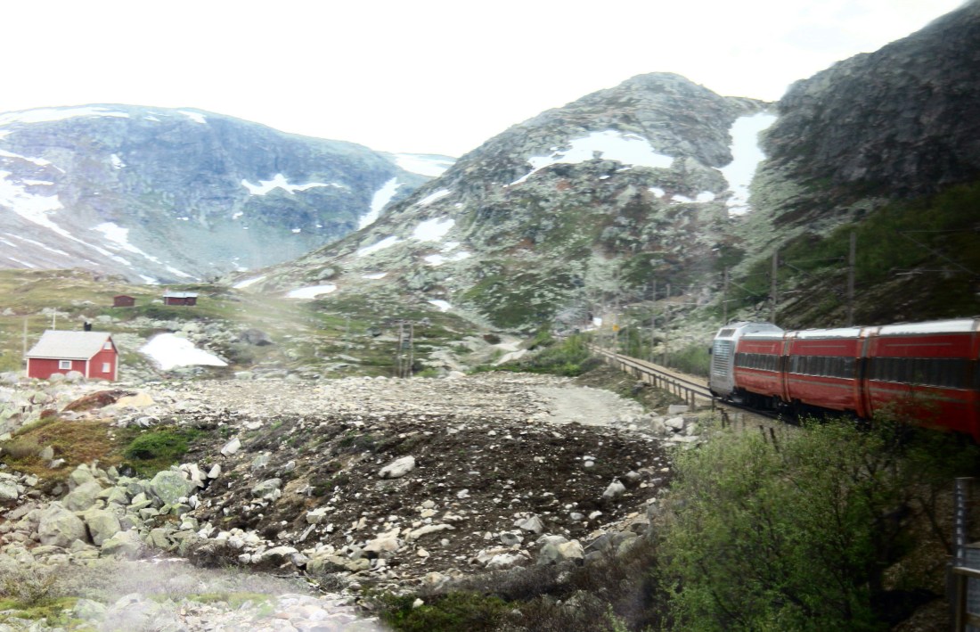
[And now the Super and I bid adieu to Oslo, boarding the train to Myrdal where we would catch another train to Flam, our final destination on the day . . . ]
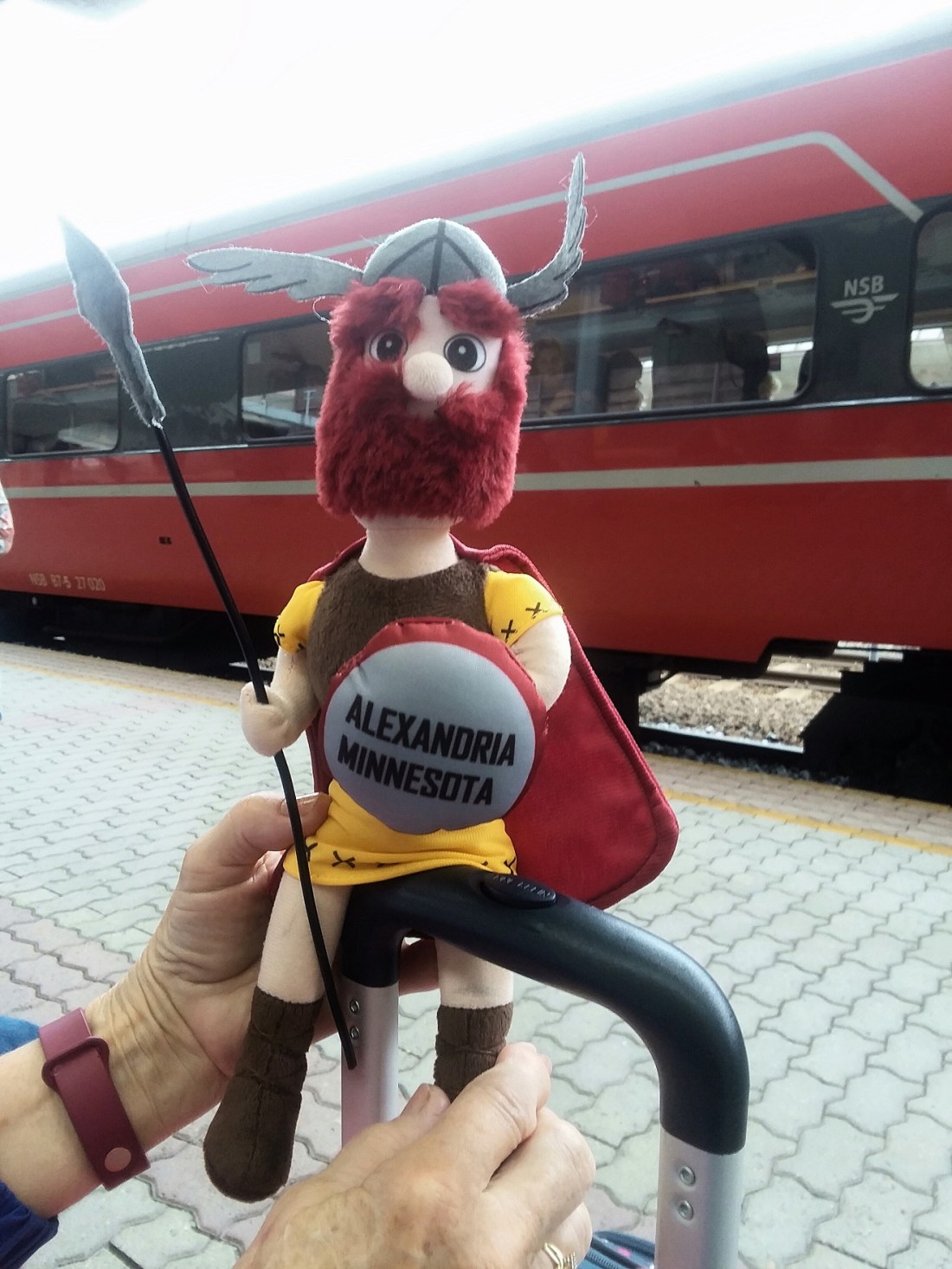
[Ole’s looking forward to visiting new places . . . ]

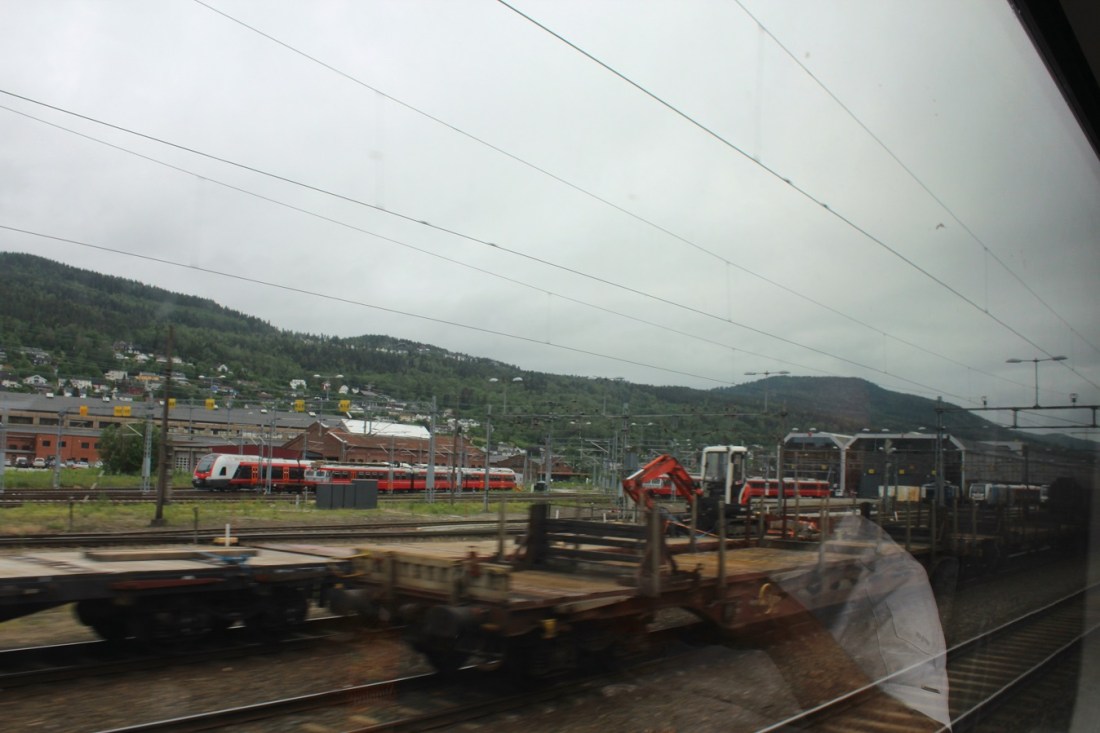
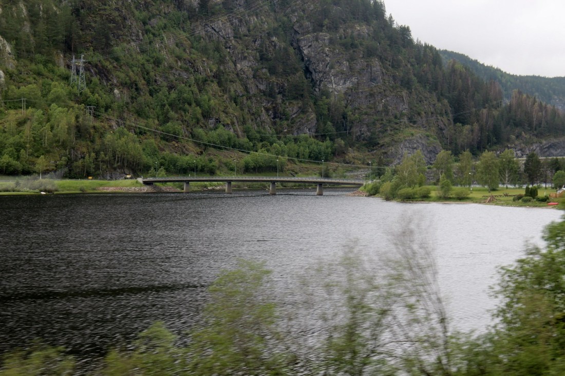
[We are now 43 km SW of Oslo. Drammen is a city in Buskerud. The port and river city of Drammen is centrally located in the eastern and most populated part of Norway. Drammen is the capital of the county of Buskerud. There are more than 68,000 inhabitants in the municipality, but the city is the regional capital of an area with more than 150,000 inhabitants. Drammen and the surrounding communities are growing more than ever before. The city makes good use of the river and inland waterway called Drammensfjord, both for recreation, activities and housing. No city in the country has received as many awards for environmental and urban development as Drammen: 6 national and 2 international prizes since 2003 (Wikipedia).]
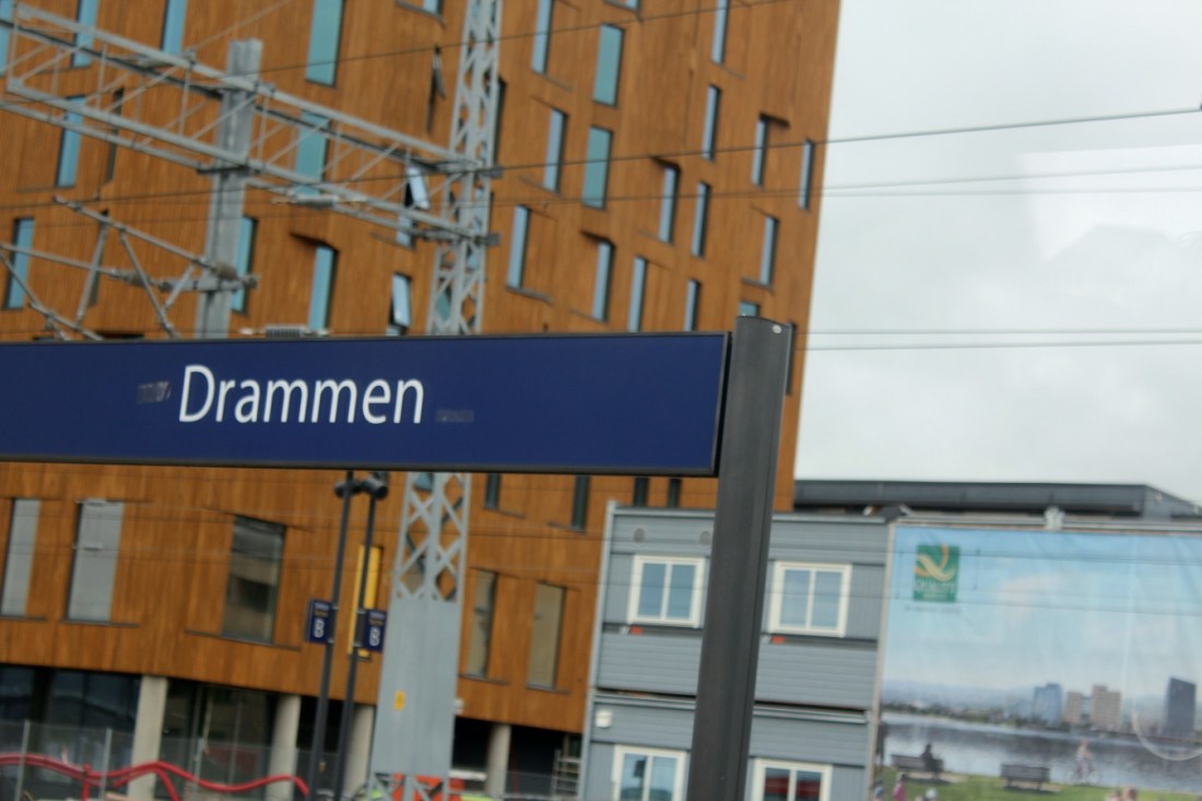
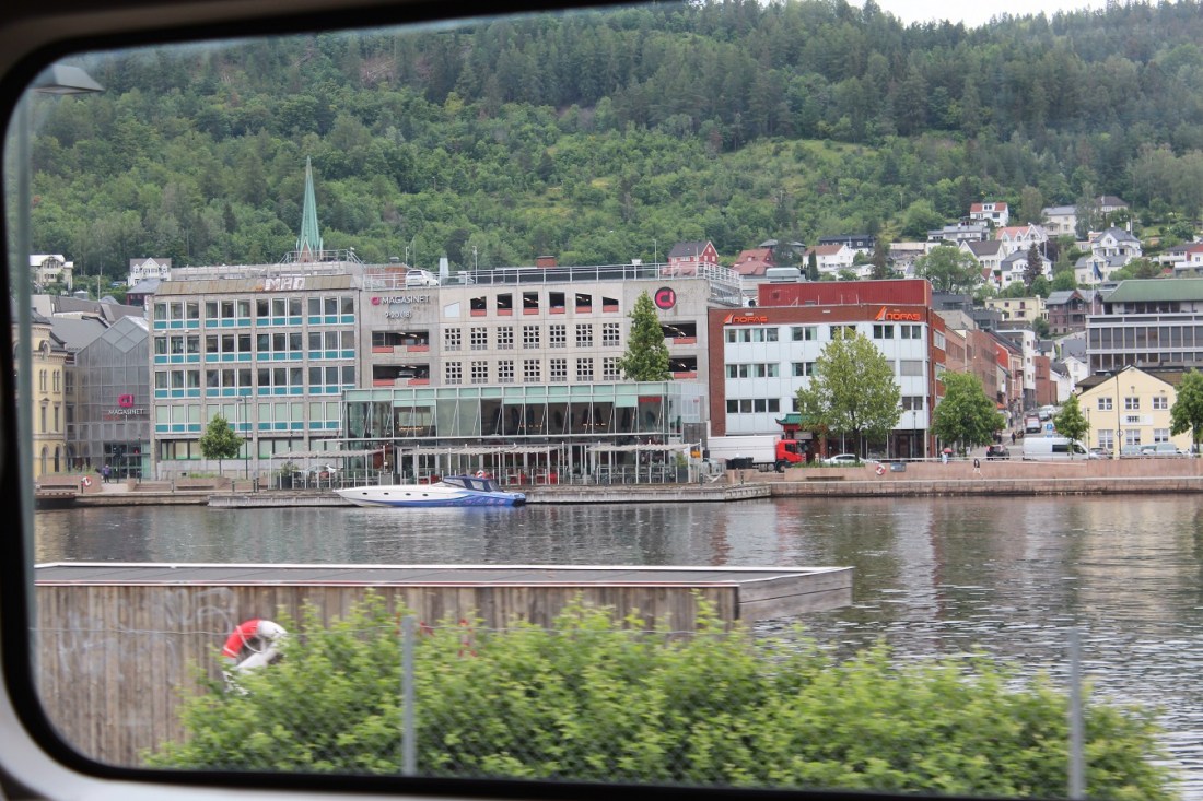
[Drammen . . . ]
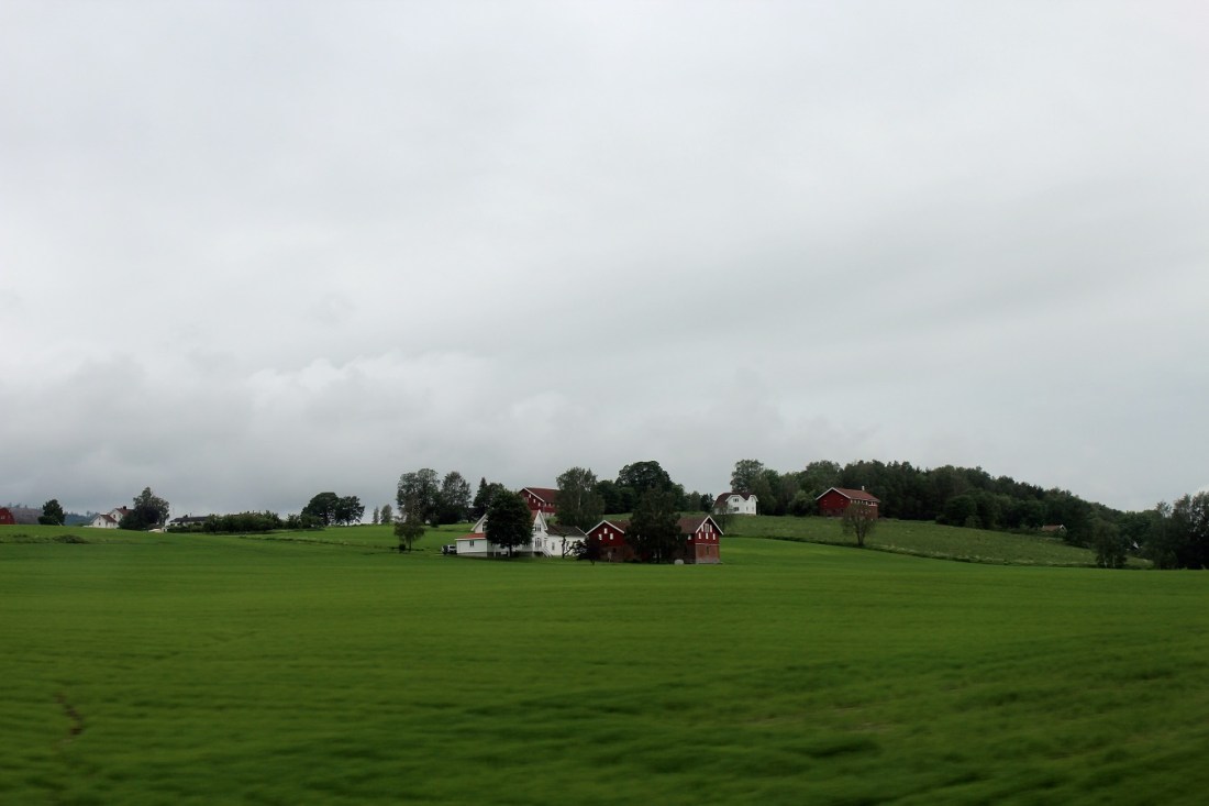
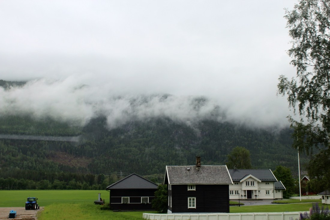
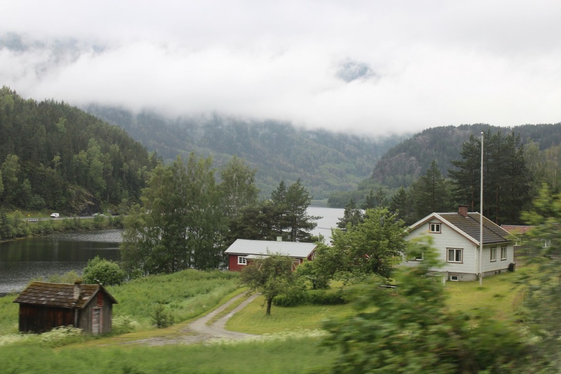
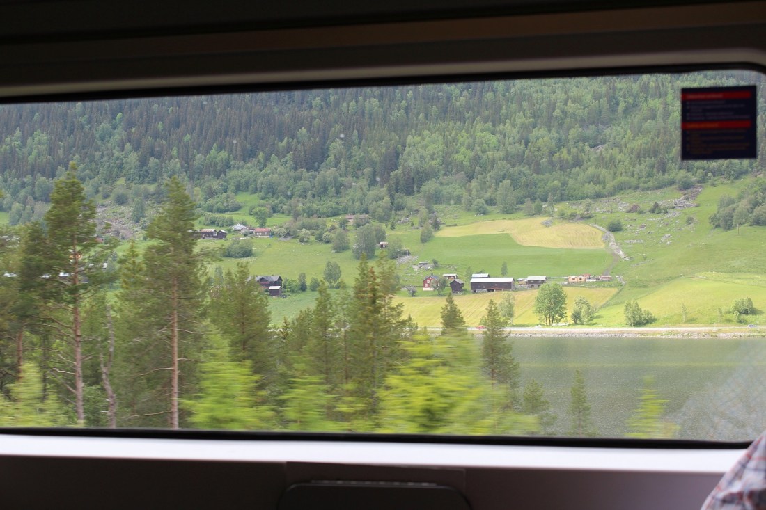
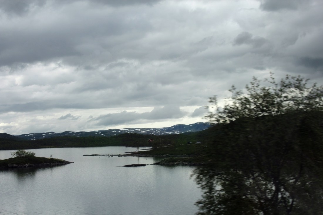
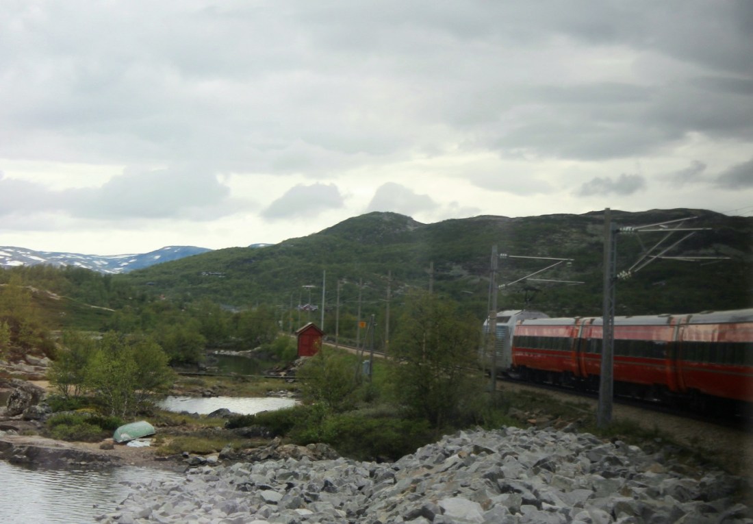
[And now out in the country (looks like home). This scene is a relative rarity as only 2 per cent of Norway is arable . . . ]
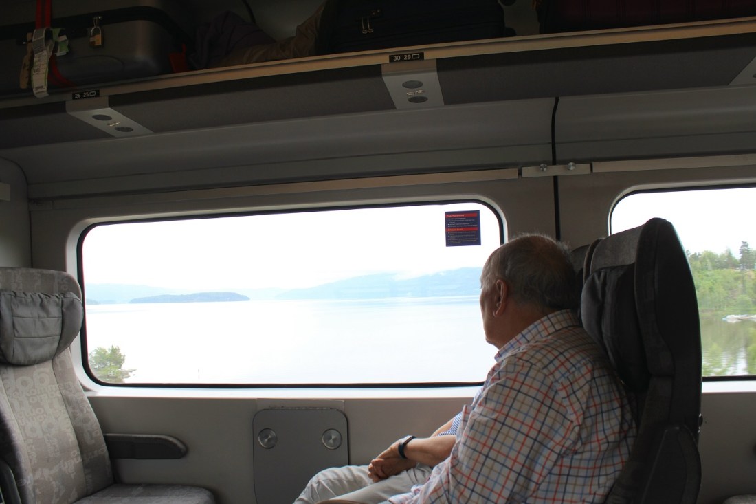
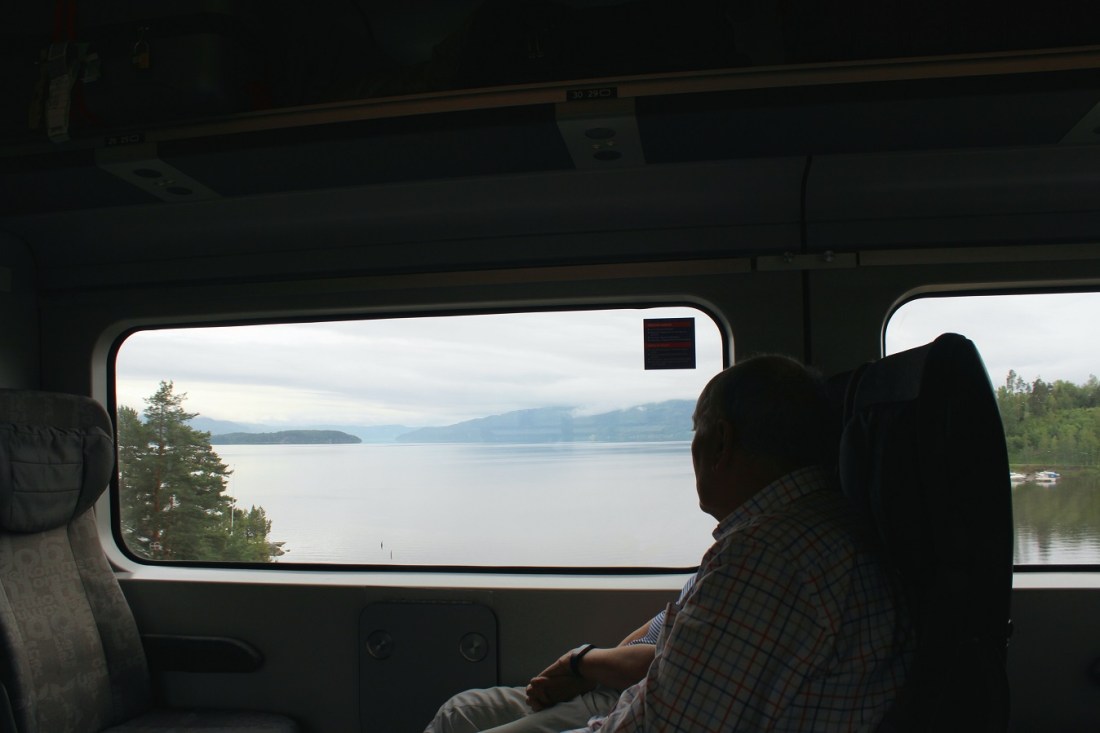
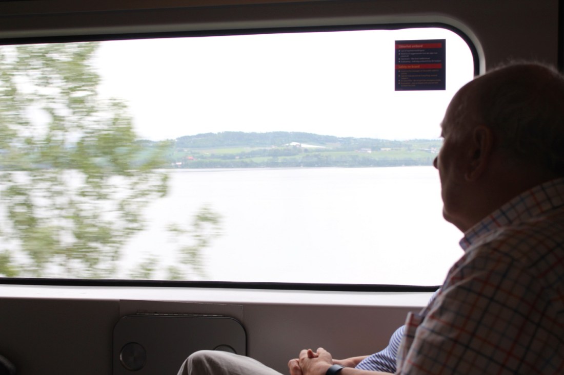
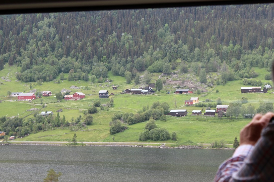
[As you know, the best views are always on the side you’re not on. But we learned our neighbors across the aisle were from Brisbane, Australia . . . ]
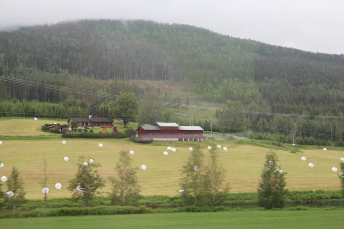
[In Minnesota, this would be known as a farm . . . ]
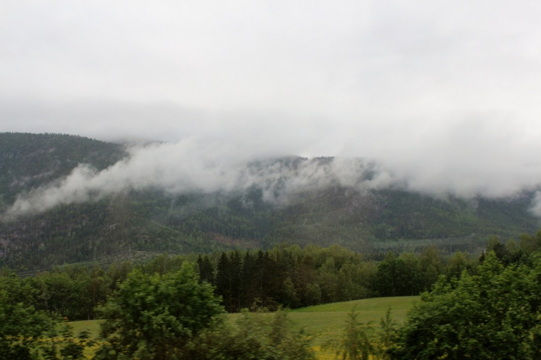
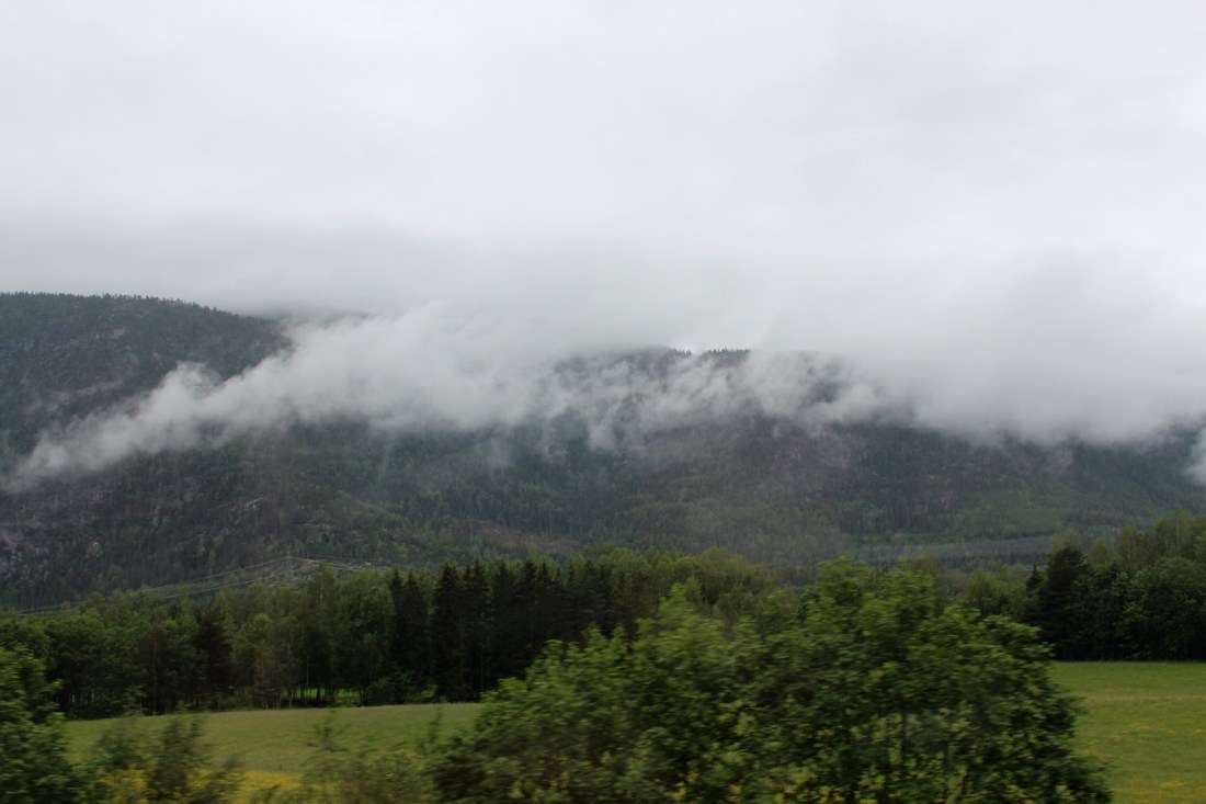
[We are not at great elevation here (like, 460 feet above sea level . . . ]
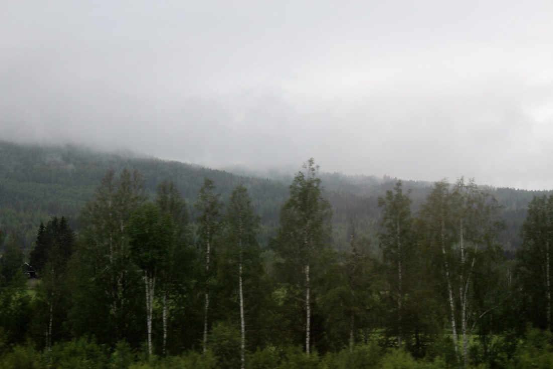
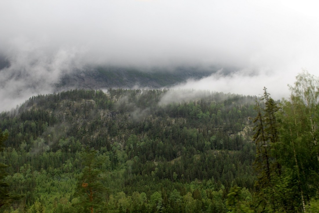
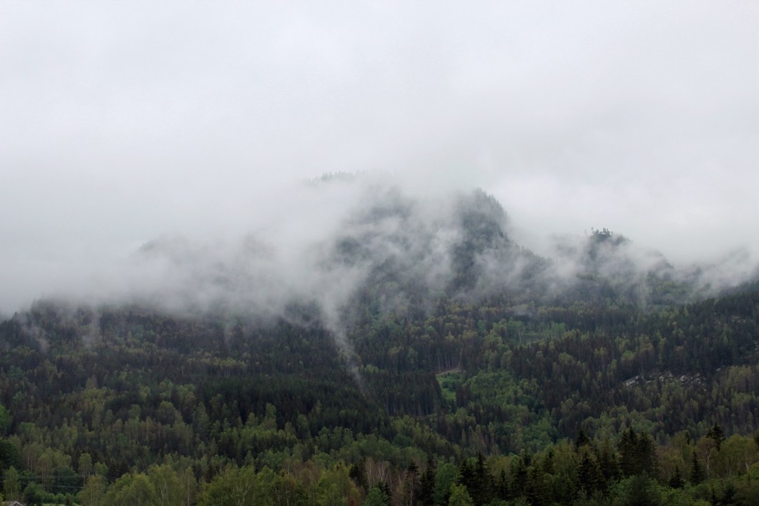
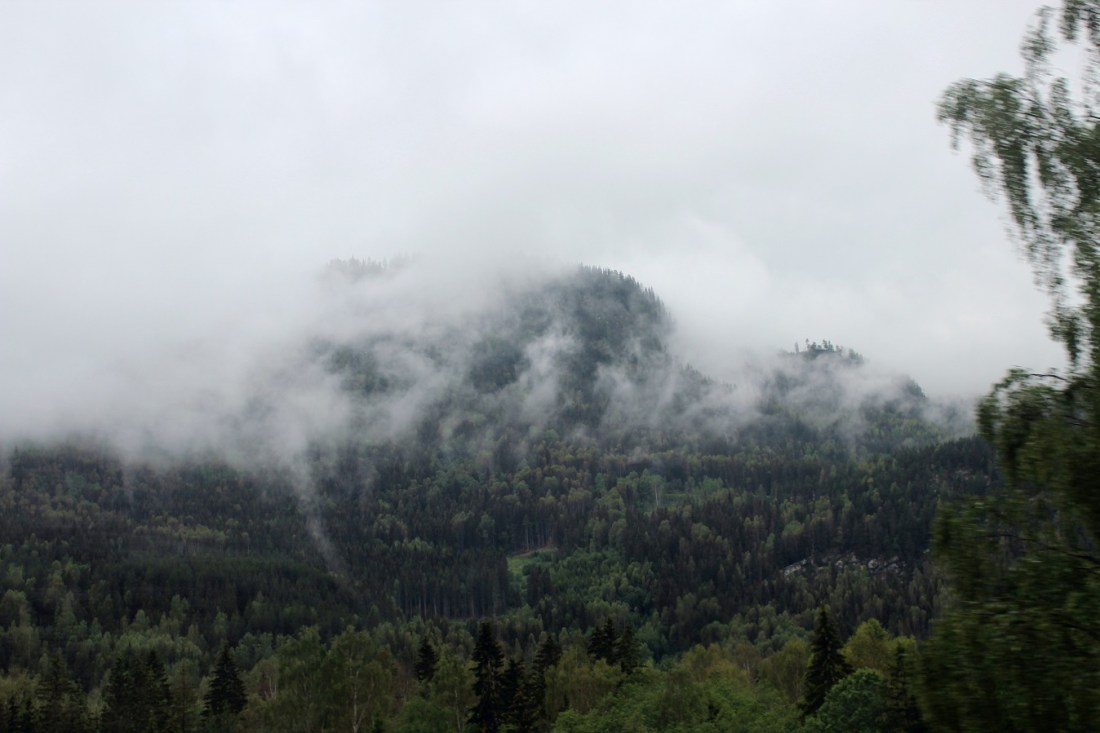
[Nevertheless, we were in the clouds . . . ]
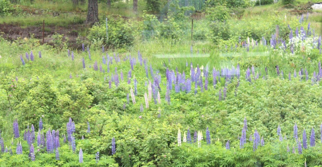
[Lupine field . . . ]
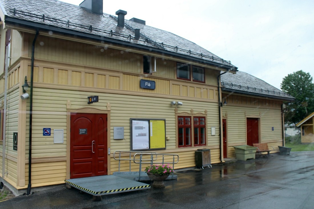
[Flå (population about 1,000) is the southernmost municipality within Hallingdal and forms the gateway to Hallingdal from the south. Travelers from the south pass through the 65 m long tunnel Hallingporten on Norwegian National Road (Riksvei 7) just located north of Gulsvik. Vassfaret is a forested mountain valley bordering Flå. The Norefjell mountain range also includes parts of Flå. Lake Kroderen (Krøderfjord) stretches about 41 km north from the village of Kroderen and reaches to Gulsvik. The Hallingdalselva river flows into the lake from the north. The area includes the Vassfaret and Vidalen Conservation area which includes Festningen Nature Reserve and Bukollen Nature Reserve as well as the Inner Vassfaret Conservation area which includes Bringen Nature Reserve (Wikipedia).]
[Our train chugging through the mountains . . . ]
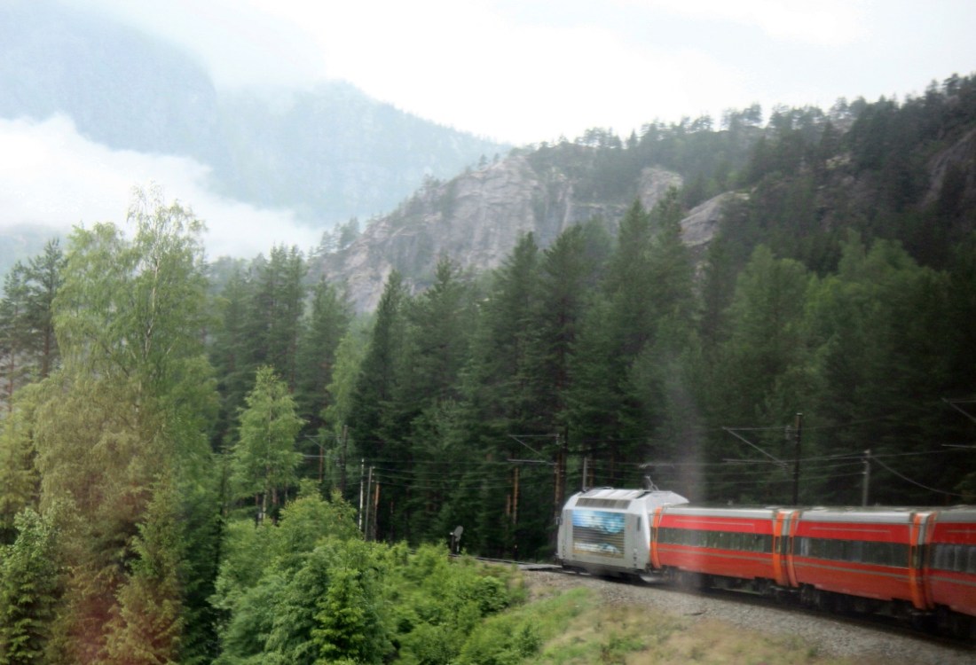
[And a tunnel. Much of Norway had always only been accessible by water or air because of its topography. With the discovery of oil, the country could finance the construction of tunnels to open up the country by road and rail . . . ]
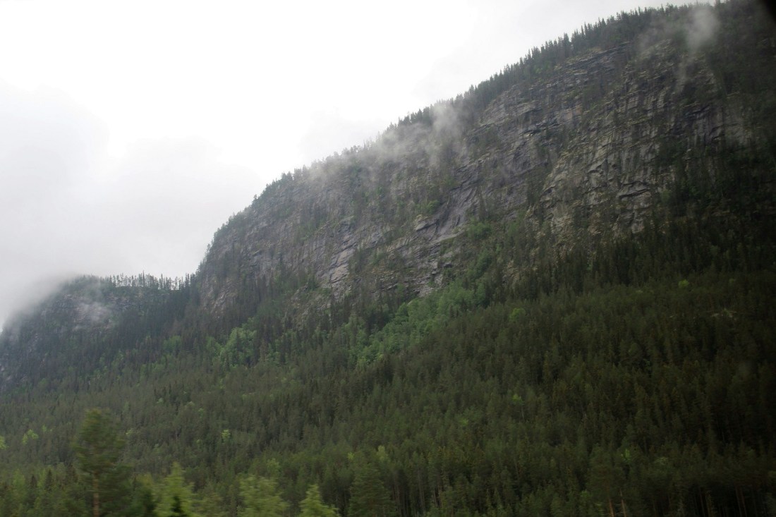
[The dreary weather actually made for good photo ops . . . ]
[Nesbyen has a population of about 3,500 inhabitants. It is located on the Bergen Line railroad which runs between Oslo and Bergen. Nesbyen Station was opened in 1907 when the Bergen Railway was opened to Gulsvik. Nesbyen is located on Norwegian National Road 7. Nesbyen is listed as the location with the highest recorded temperature in Norway, with a record of 35.6°C. set on 20 June 1970 (Wikipedia).]

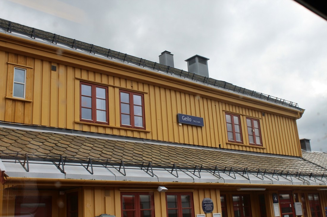
[And arriving in the next town . . . ]
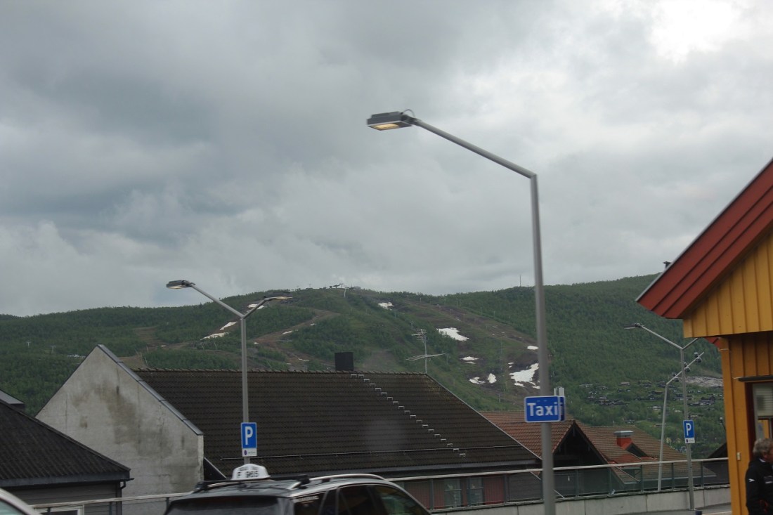
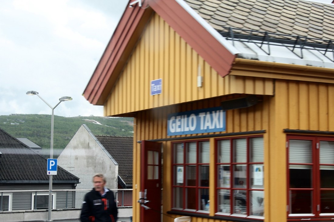
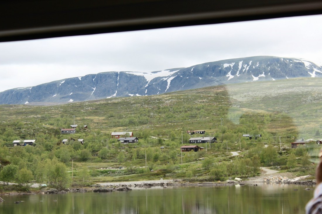
[Geilo is a centre in the municipality of Hol in Buskerud. Geilo is primarily a ski resort town, with around 2,300 inhabitants. It is situated in the valley of Hallingdal, 250 km from Oslo and 260 km from Bergen (i.e., the middle of the country). The Bergen Line facilitated Geilo’s development as the first skiing resort in the country, and it is still one of the largest. It is also known for having some of the most luxurious and expensive holiday cabins in Norway. The center of the town lies at 800 meters above sea level, and its highest point is 1178 meters above sea level (Wikipedia).]
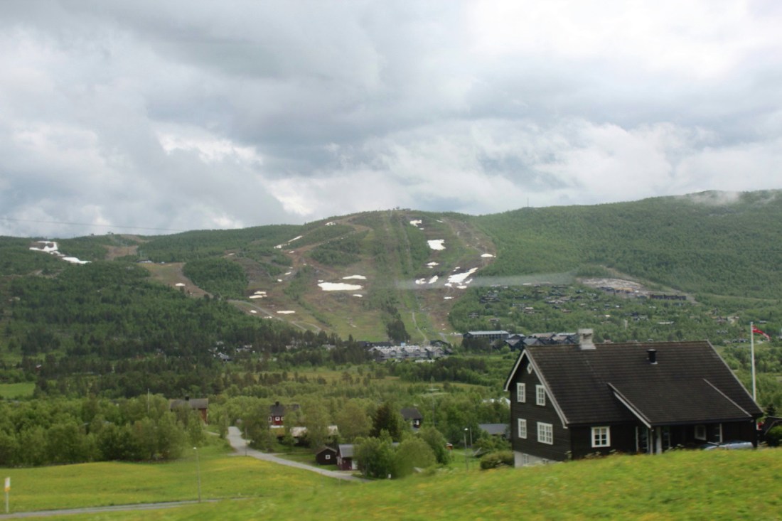
[Ski slopes . . . ]
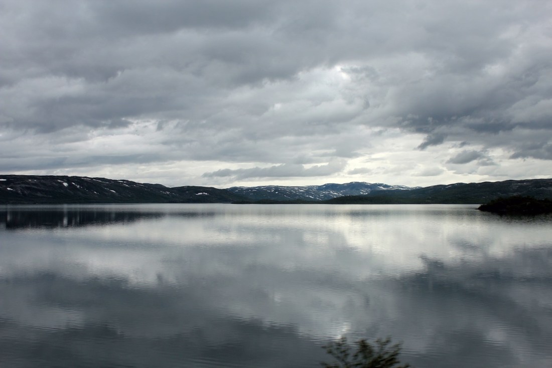
[A tarn . . . ]
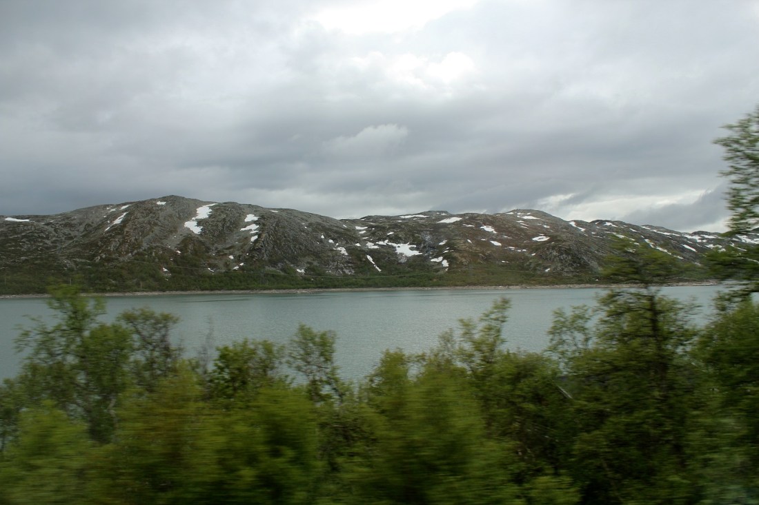
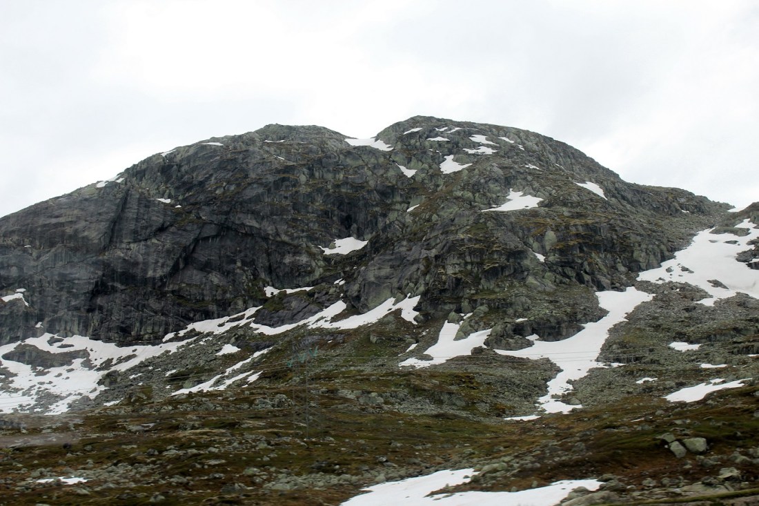
[We are now in a totally different in geographic region of rugged snow-capped treeless mountains. Not so much because of elevation, but because this is the country’s interior and located at 60 degrees north latitude (about 1,000 miles farther north than Minneapolis . . . ]
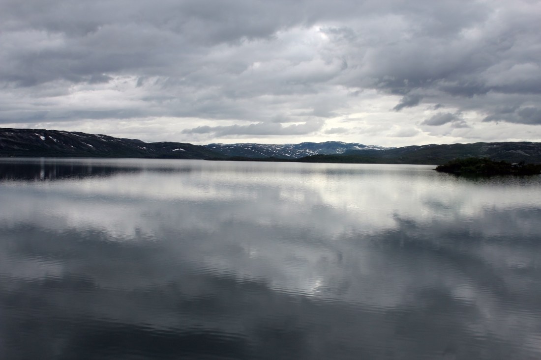
[Ustaoset (unlisted population) is a village in Hol municipality, Buskerud. It is situated 990 m (3,250 ft) above sea level and is the finish for the cross country ski event Skarverennet. The rail line between Oslo to Bergen provides year-round access to this high mountain valley. Ustaoset has a rail station on the Bergen Line running between Geilo and Finse, as well as a hotel and mountain resort cabins. Families from both cities built cabins, some now over one hundred years old, from which they could ski in the winters and hike in the summers. Reaching the summit of Folarskardnuten, at 1,933 m (6,342 ft) the highest point in the region, on skis or on foot is a notable achievement (Wikipedia).]

[As the train passes . . . ]
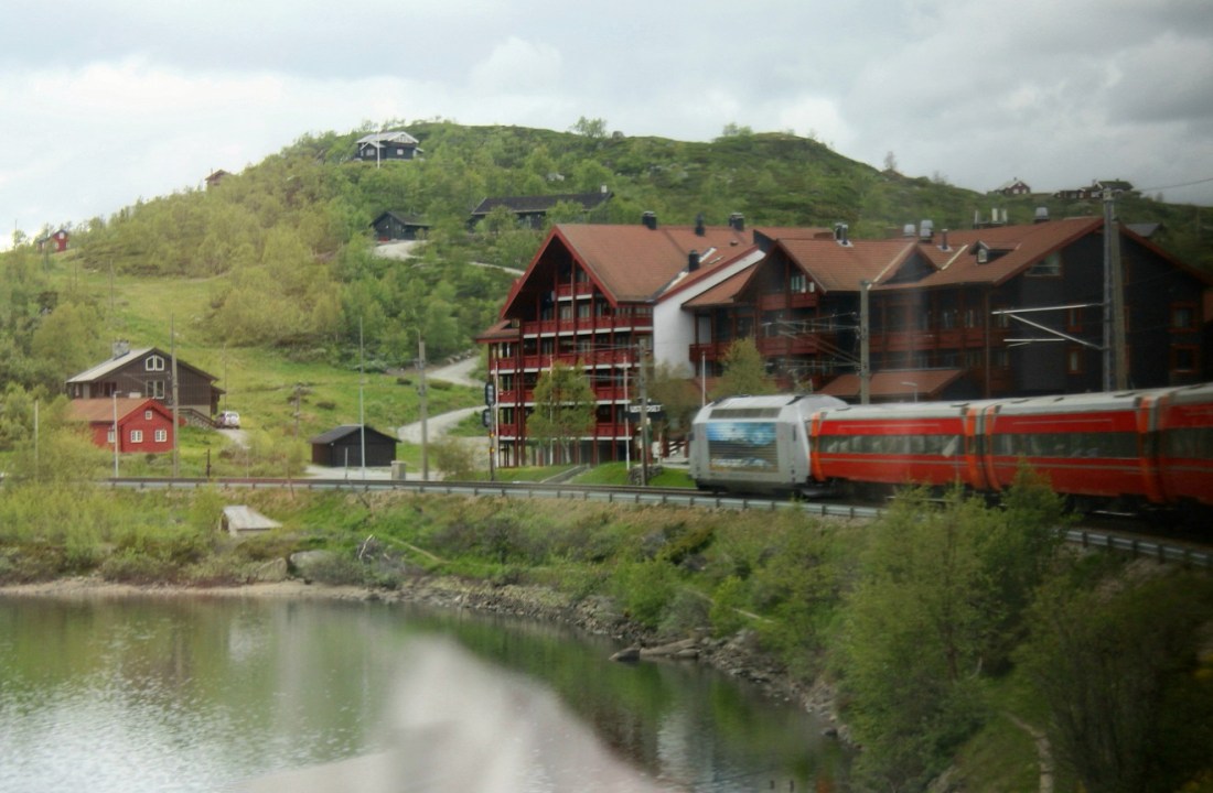
[The Ustaoset hotel . . . ]

[A feeling of heading further into the wilderness . . . ]
[Haugastøl (Haugastøl stasjon) is a station on the Bergen Line. The station is located in the Hol municipality situated between the stations Ustaoset to the east and Finse to the west. The station is 275.50 kilometres (171.19 mi) from Oslo if one follows the track over Roa. The altitude is 988 metres (3,241 ft) above sea level (Wikipedia).]


[Heading into where no man has gone before . . . ]
[Barren landscapes . . . ]
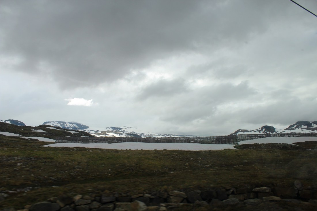
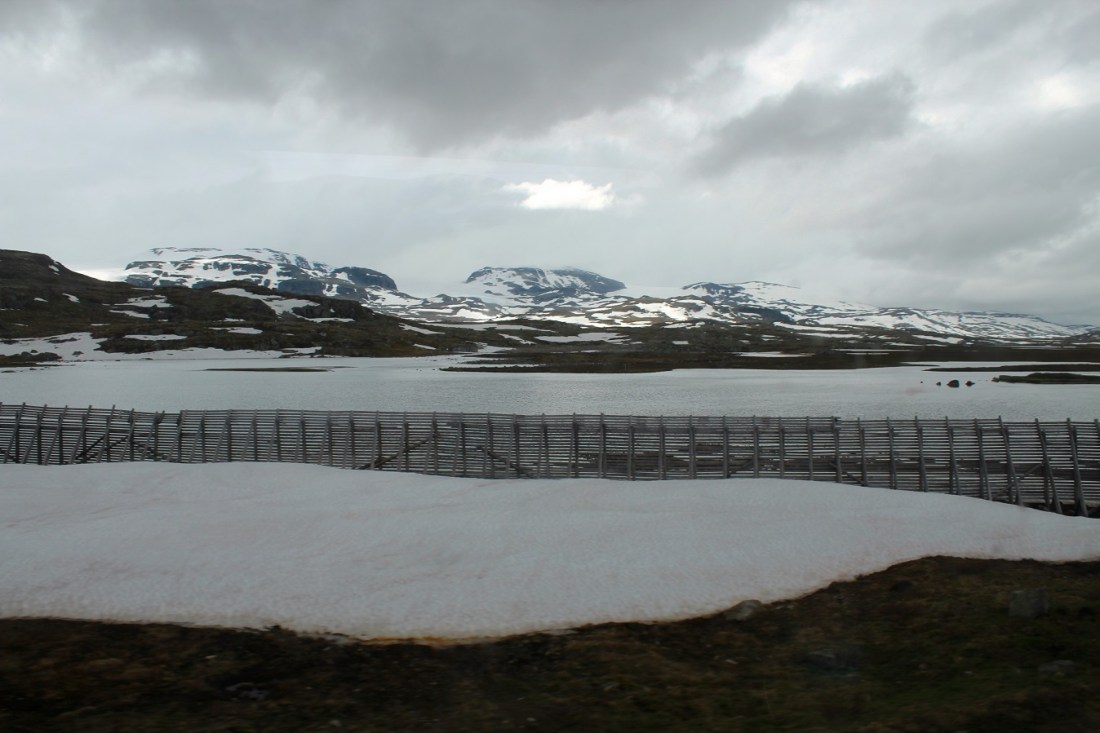
[And now into the land of the snow fence . . . ]
[Tunneling through . . . ]
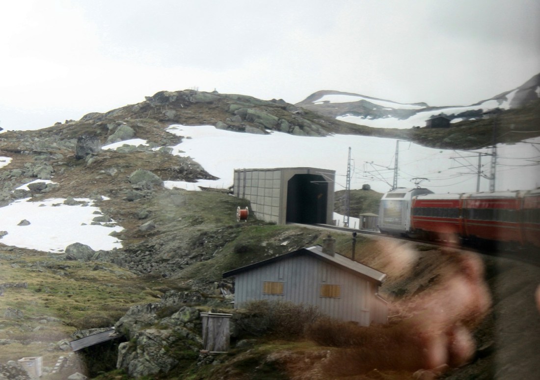
[To where . . . ]
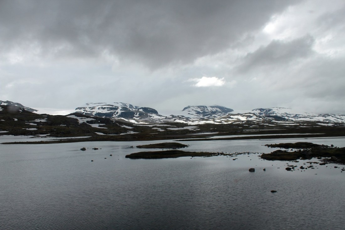
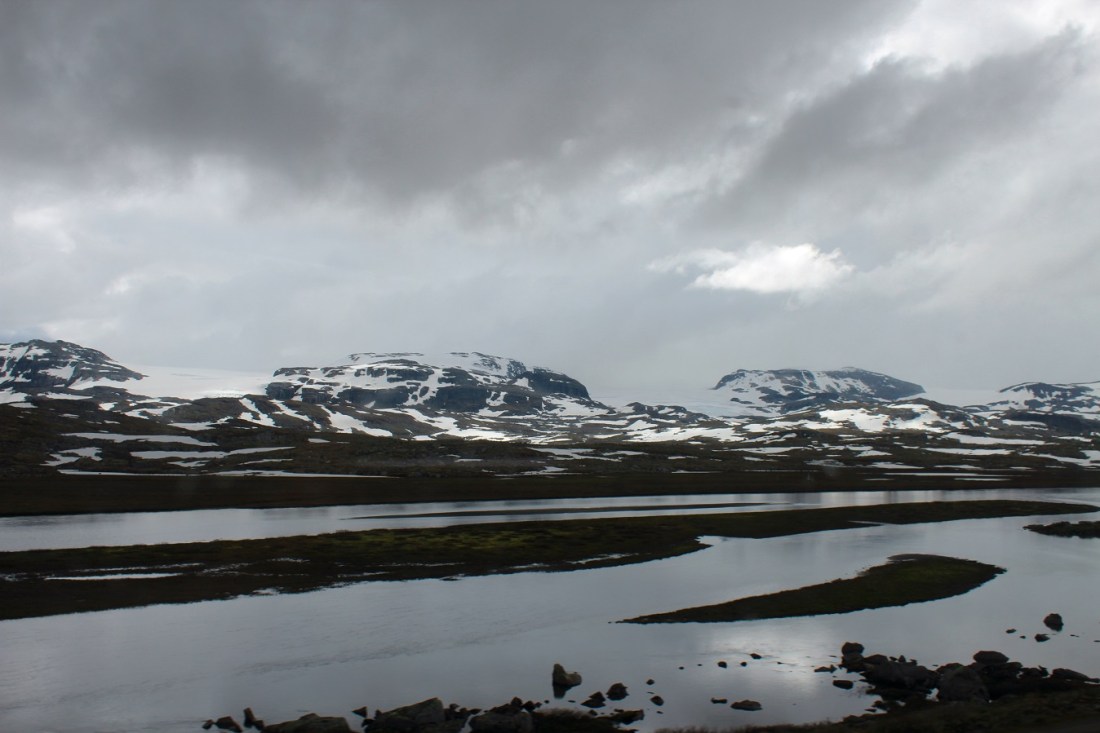
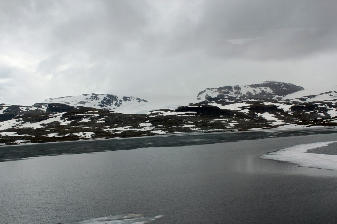
[We come out onto a moonscape . . . ]
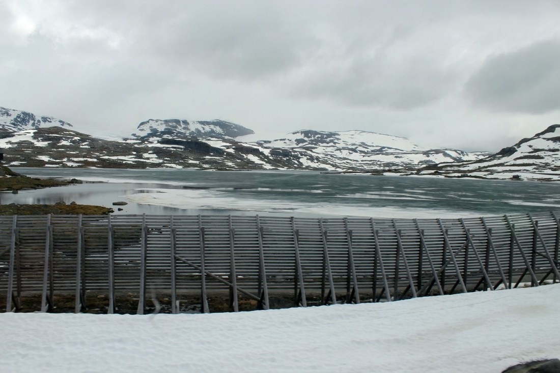
[Remember, this is late June . . . ]

[And thus I will always remember Finse as a place where the lakes had summer ice . . . ]

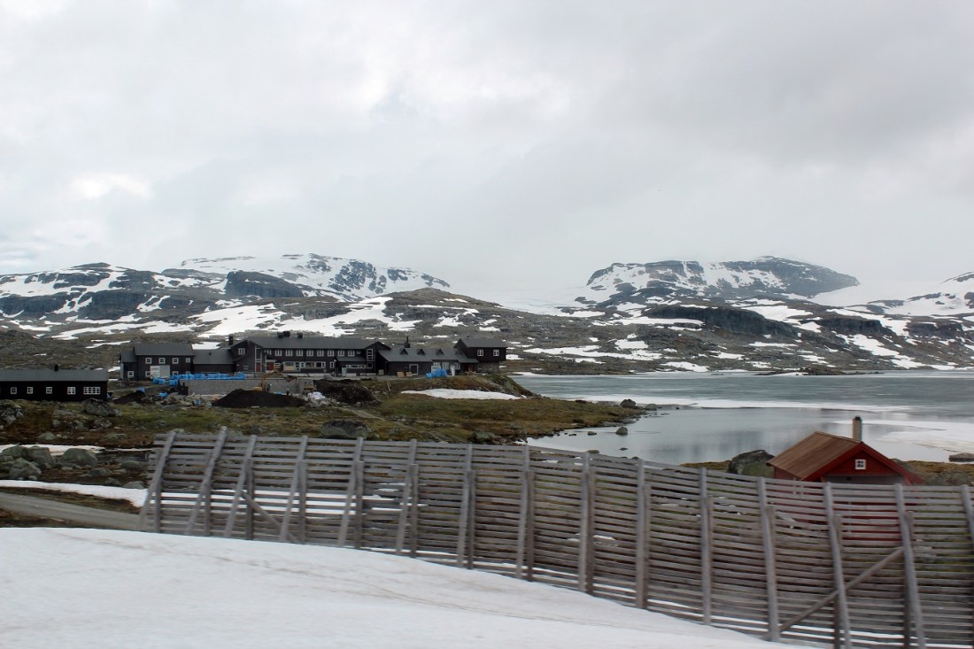
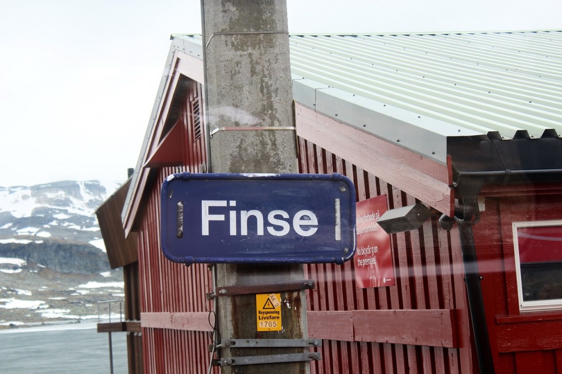
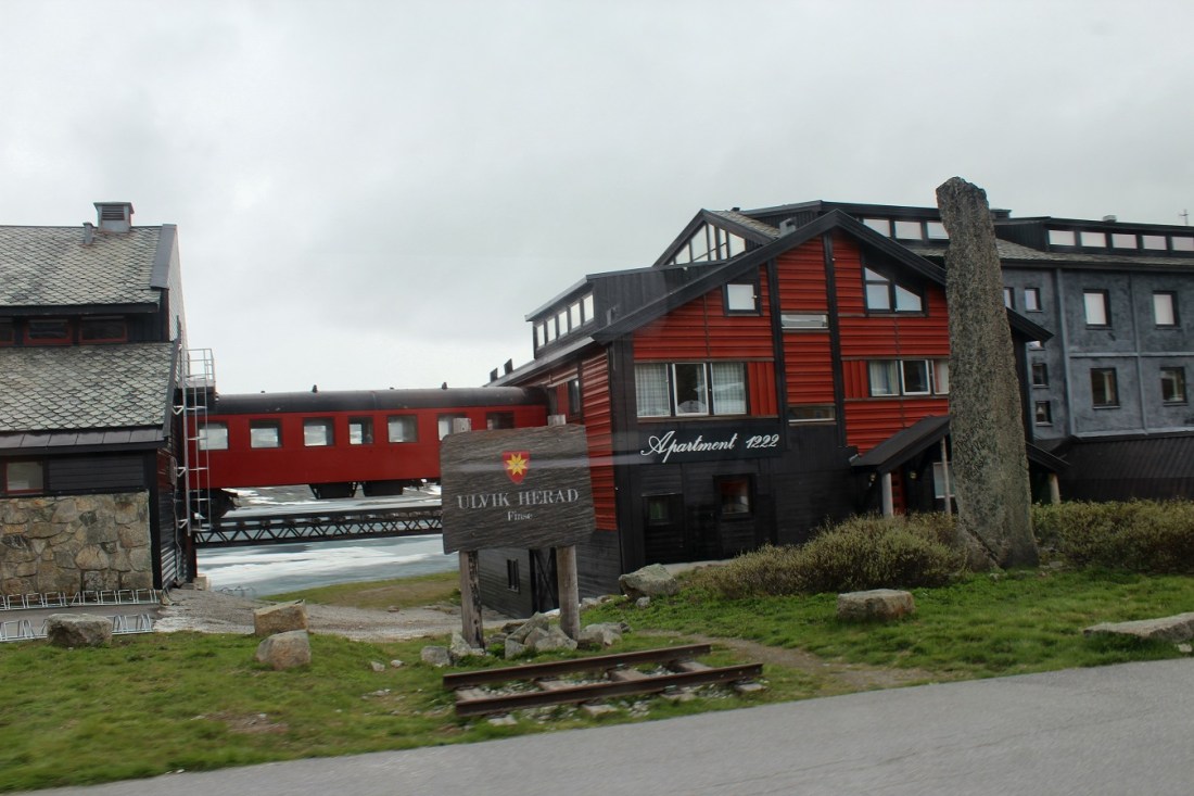
[Finse is a mountain village area on the shore of the lake Finsevatnet in Ulvik municipality in Hordaland county. The village is centered on Finse Station on the Bergen Line. The village sits at an elevation of 1,222 metres (4,009 ft) above sea level, making it the highest station on the entire Norwegian railway system. The village lies in the eastern part of Ulvik municipality, and it is not easily accessible from the rest of the municipality. There is no road access, only a railway stop. The long Finse Tunnel lies just west of the village area, replacing a difficult section of rail that frequently was blocked by snow and difficult to clear. According to the BBC, the village was used for expedition training by Amundsen, Scott and Shackleton (Wikipedia).]
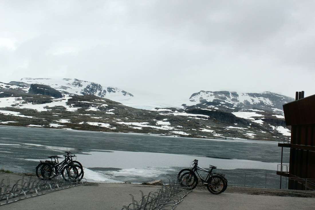
[Since there are no (public) roads to Finse, the railway provides the sole means of transportation to and from Finse. During summer, however, it is possible to walk or cycle to Finse on the Rallarvegen road (owned by the railroad) (Wikipedia).]
[During the winter, Finse is popular for cross-country skiing, sail skiing (due to its location on the edge of the frozen lake Finsevatnet), expedition training, and Red Cross training. The ill-fated Scott expedition to the South Pole trained here, and outside the hotel there is a monument to those that died. There is one small drag-lift which allows you to downhill ski on one slope back into town. During the summer, the recreational focus switches to mountain cycling, walking, and glacier walking on the adjacent “blue ice” Hardangerjokulen glacier. The Rallarvegen is a popular bicycle route from Haugastol to Flam (Wikipedia).]
[Finse is home to the Alpine Research Center operated by the University of Oslo and University of Bergen. The Centre began its work in 1972, initially under the title of the High Mountain Ecological Research Station. The Centre hosts numerous workshops, conferences, and research projects from both Norwegian and international institutions. It is part of EU-funded International Network for Terrestrial Research and Monitoring in the Arctic (INTERACT) (Wikipedia).]
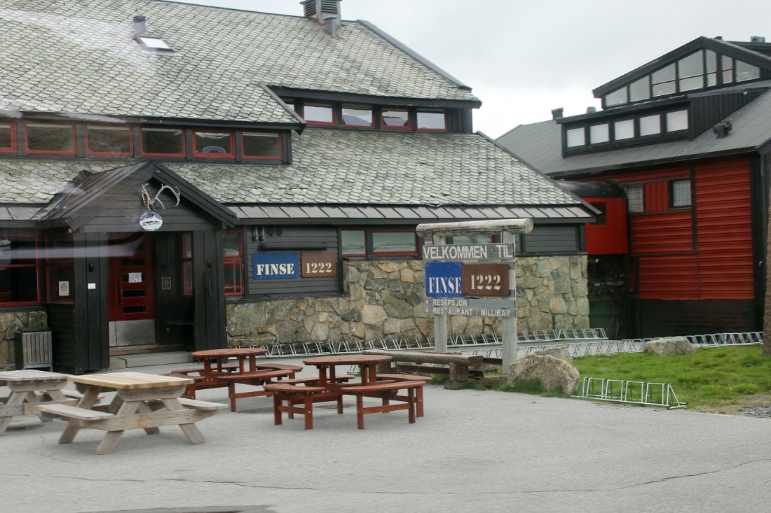
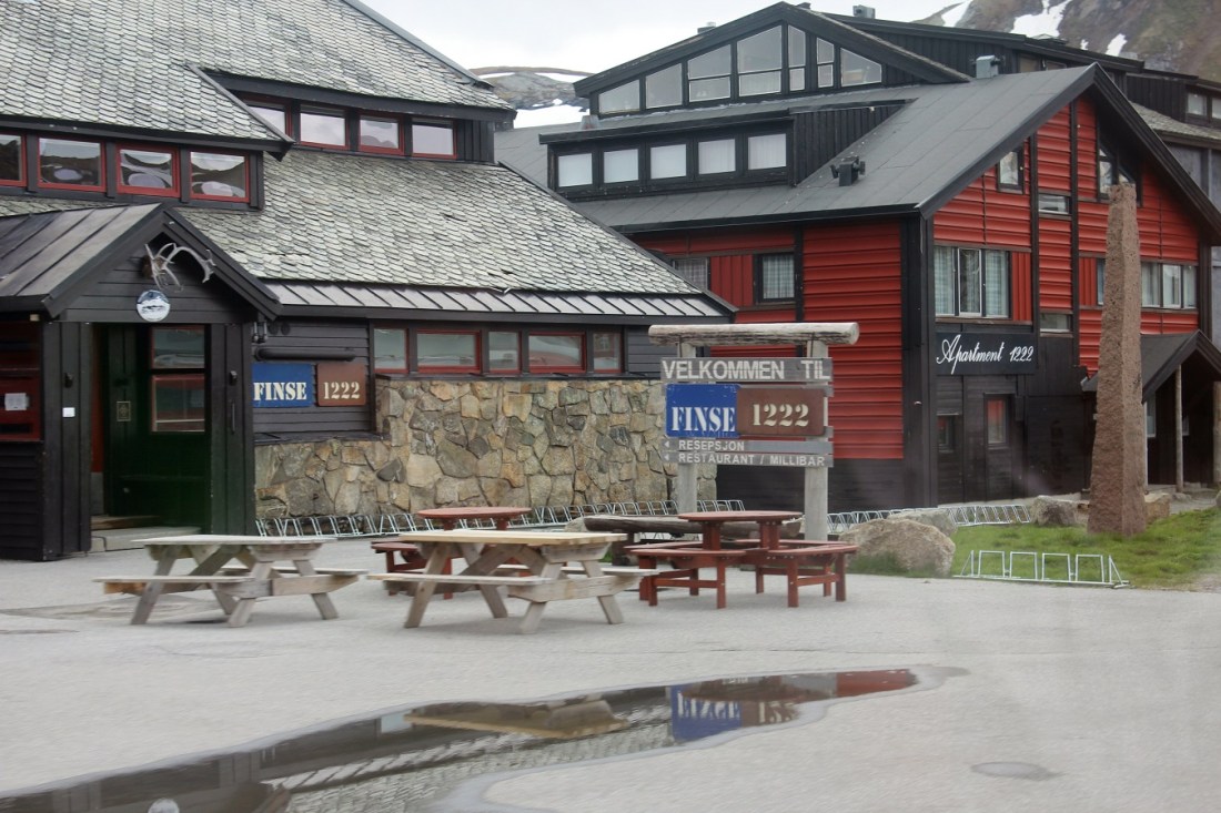
[Finse is the setting for the climax to the 1948 Hammond Innes novel ‘The Blue Ice.’ In March 1979, Finse was the location chosen to portray the ice planet Hoth in ‘The Empire Strikes Back’, the sequel to the 1977 ‘Star Wars’ film. The Finse Tunnel, the village, and the “Finse 1222” Hotel are the setting of Anne Holt’s 2007 novel ‘1222’ (Wikipedia).]
[Thusly, Finse seems like a good place to end Part 1 . . . ]
Never wear your best trousers when you go out to fight for freedom and truth. ~ Henrik Ibsen
Up Next: Part 2
